In late October 2016, I went to Saline Valley Hot Springs with a group of SoCal naturists. This is possibly the most remote location in California that can be reached by vehicle. There are several ways to get there, but the only two I'd dare try without a full-up 4WD truck caravan are the North and South Passes. This trip took the South Pass.
It is a reasonable road to drive au naturel. 😊
I’ve been up here solo several times since the late 1980s and noted how it has grown in popularity.
First, you travel up US 395 to a small village named Olancha to get there. At this point, you are wise to fill your tank -- even if it is only a gallon or two low, even though the price is exorbitant. Fill your gas cans, too, if you have an exterior carrier for them. Bring a minimum of a gallon of water per person per day. More would be better.
Make sure you have a real spare tire and it is full, not one of those mini spares. (Many people recommend two spares. I recommend one with lots of tread and then go slow.) My car was a stock 2WD Isuzu Amigo — plenty of clearance and good AT tires. Speed kills on this road, and you won't be able to avoid the sharp rocks and divots if you treat it like any other gravel road.
Saline Valley Road was once considered one of the more dangerous roads in North America because of its sheer isolation. The hot springs' popularity and inclusion into Death Valley Park has reduced its isolation, but few travel in summer months. An unprepared breakdown at an unlucky time could be fatal.
It is not a trip for the faint of heart or the stupid. Summer is brutal. Winter can be navigated if you watch the weather and keep track of current conditions; however, you run the chance of being snowed in for days to weeks. Late fall and early spring are the best times, but weather through the passes can be quirky at all times of the year.
There are a couple of good sources of information. For road conditions, I rely on the Saline Preservation Forum. I use Guide to the Remote and Mysterious Saline Valley for general exploration by Bill Mann. I use topographic maps and a compass to shoot back bearings off prominent features for foot navigation.
Do not use a standard vehicle GPS. That's a good way to die in the desert. Many roads and trails either no longer exist or are simply dangerous. The water at the springs isn’t palatable other than in an emergency.
The GPS: A Fatally Misleading Driving Companion
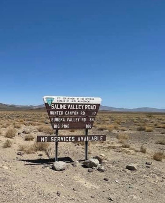
One of a few strange encounters I had out here involved a young couple parked at the intersection of Saline Valley Road and a small 4WD track called Hunter Mountain Road. They were outside the car discussing and gesturing. I pulled over, put on my shorts, and got out to see if they needed help.
It was a young German couple in an expensive rental car. They were going to Death Valley, and their GPS said this was the shortest route. It might have well been, but it gets very rough later and is recommended for 4WD only. I suggested going back and taking paved roads, but the guy insisted that he follow the GPS.
I did follow up later. A caravan of Jeeps came through later that day from the opposite direction. They hadn’t encountered any immobilized luxury cars along the way, so the tourists must have survived.
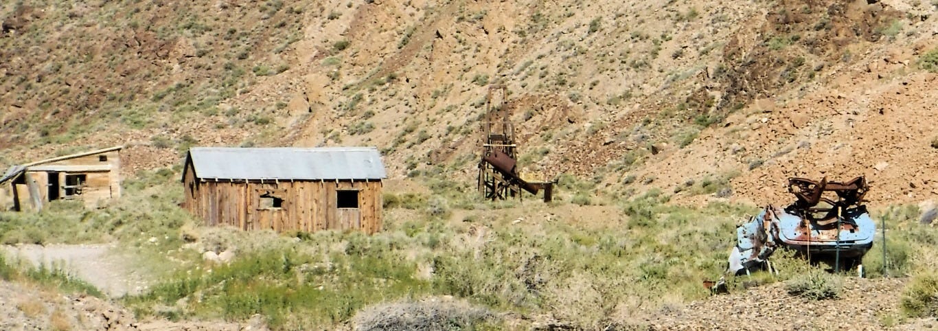
I had been out here before a decade ago, going through the north pass in my Suzuki. There was still snow on the ground, and nights were dipping to freezing. This is probably the more interesting route from a historical perspective — lots of ruins of old ranches, abandoned mines and vehicles. There was once a thriving mining community in the Inyo Mountains to the west. The eastern side of the Saline Valley Road is National Park with all their limits and restrictions while the western side is BLM. Their rules are much more relaxed.
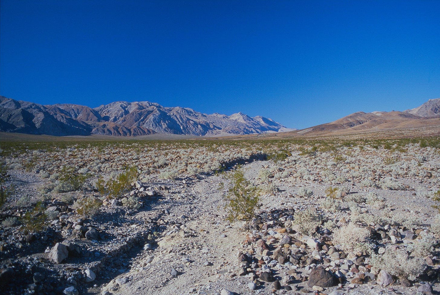
The next step is to take Highway 190 east for about 20 miles through … nothing: no structures and little sign of humanity except for the road itself. You pass on the south side of Owens Dry Lake, and a few miles beyond that, turn left onto a dirt road, signage on the right of 190 indicating "Saline Valley Road." A couple miles up this road, you'll pass a weather-beaten sign indicating you are entering Death Valley National Park.
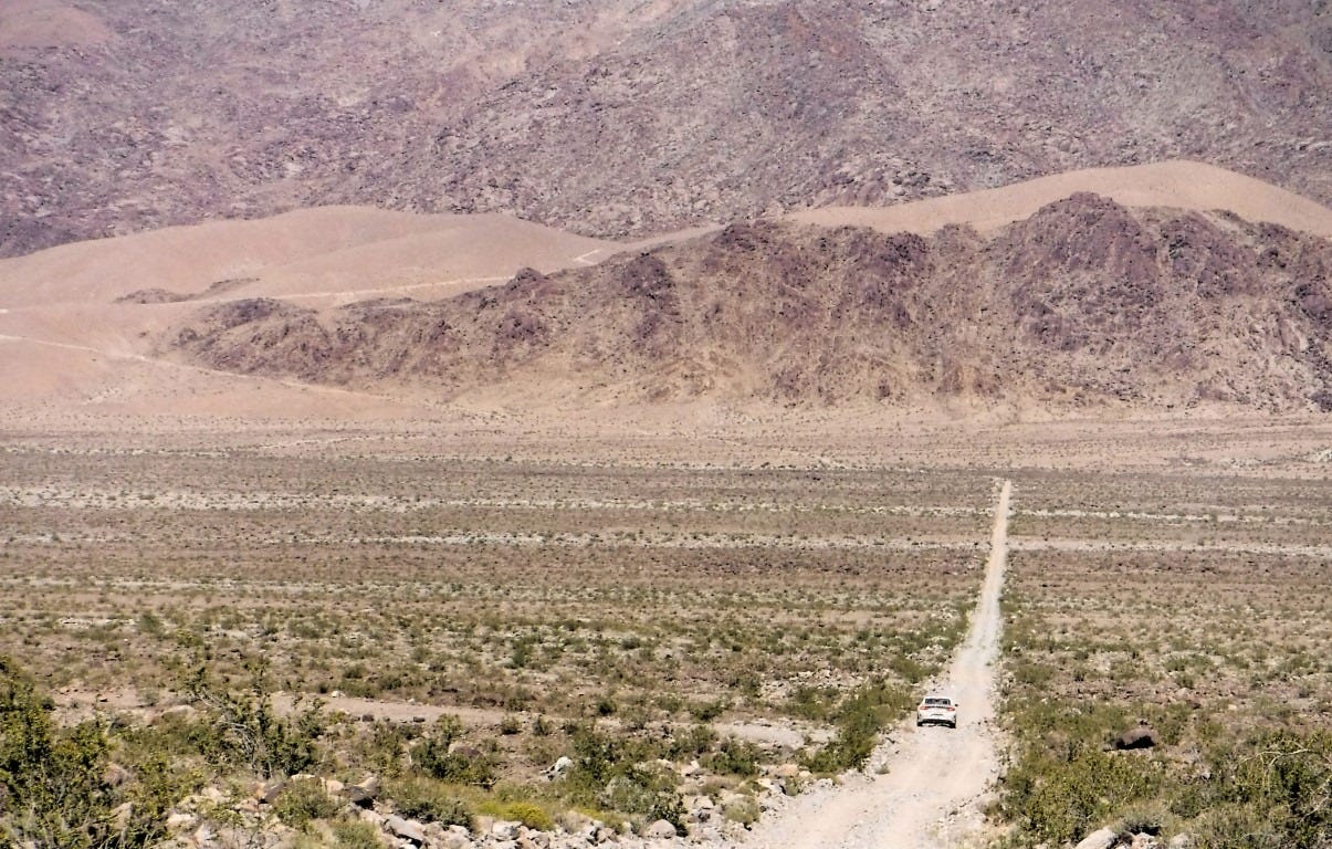
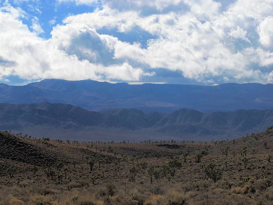
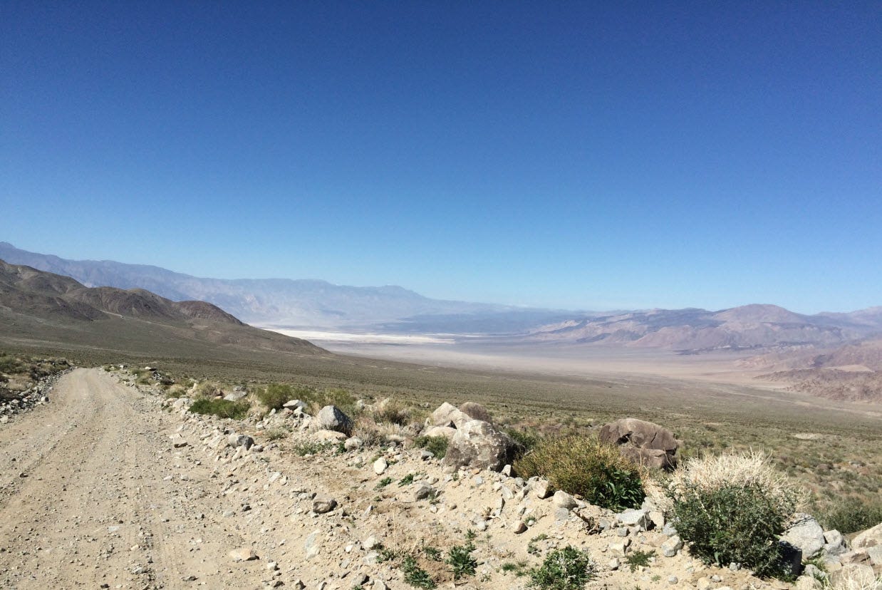
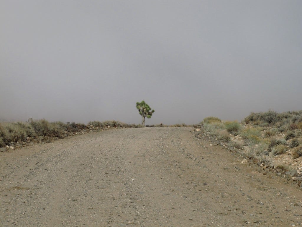
Saline Valley Road climbs up to South Pass at 5800 feet. As it does so, you pass through Joshua Tree forest, then Juniper forest. The road also gets narrower and rockier. You then proceed downhill via Grapevine Canyon, a twisty, narrow corridor through a deep rocky canyon.
I was doing some clothes-free driving on my way to the springs once when I rounded a blind hairpin curve and unexpectedly encountered another car towing a trailer that had gotten stuck. I started to back up, but another truck pulled up tightly behind me. Then another car. People got out and wandered by, hoping to extricate the stuck vehicle. Since I was immediately behind it, I was the only one who could help pull it out. Mind you, I’m sitting there having just tossed my shorts over my lap as a half dozen guys and two women swarmed around.
I reached around, pulled out the yank strap I keep under the seat, rolled down the window, and handed it to a guy. They hooked me up to the trailer, I went into reverse, and I got it pulled straight. He retrieved the strap and handed it back to me without a word. It was surreal.
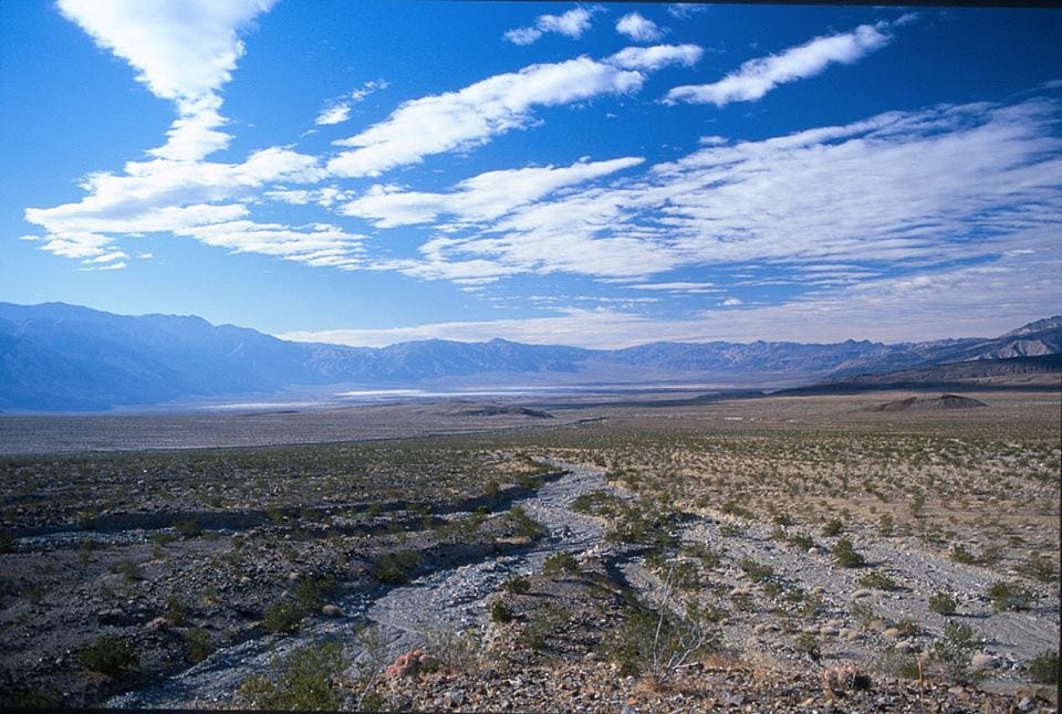
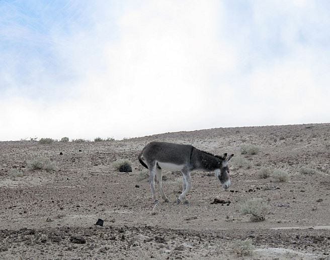
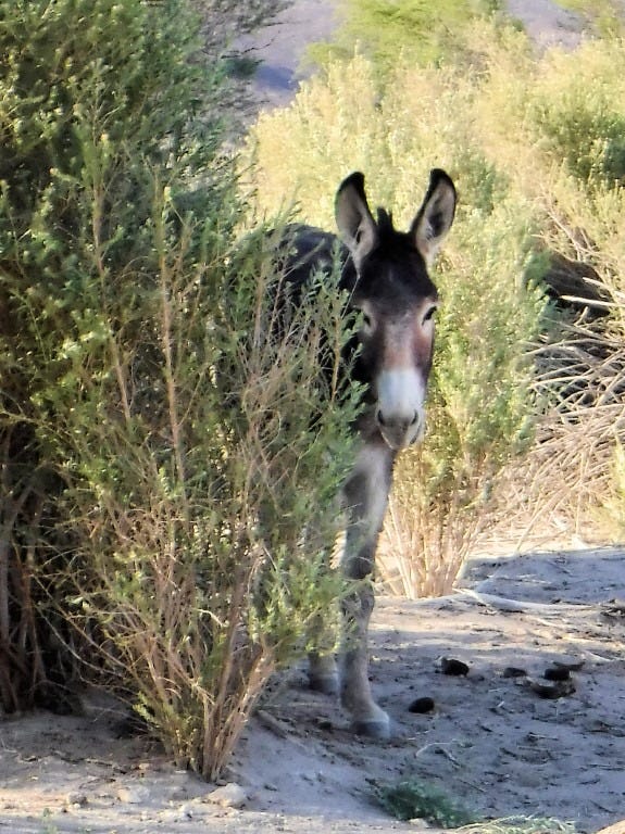
On the way, you'll pass a salt lake, often completely dry in the summer. The ruin of an old salt works is still there. The surrounding area is relatively green because this is where an aquifer emerges at the base of the mountains. Everything here is enclosed by a fence, and it is an officially declared "Burro exclusion zone." The valley has a herd of wild burros living here, and they will eat anything. Mesquite, cardboard, the lunch you left out when you went to the latrine. ANYTHING.
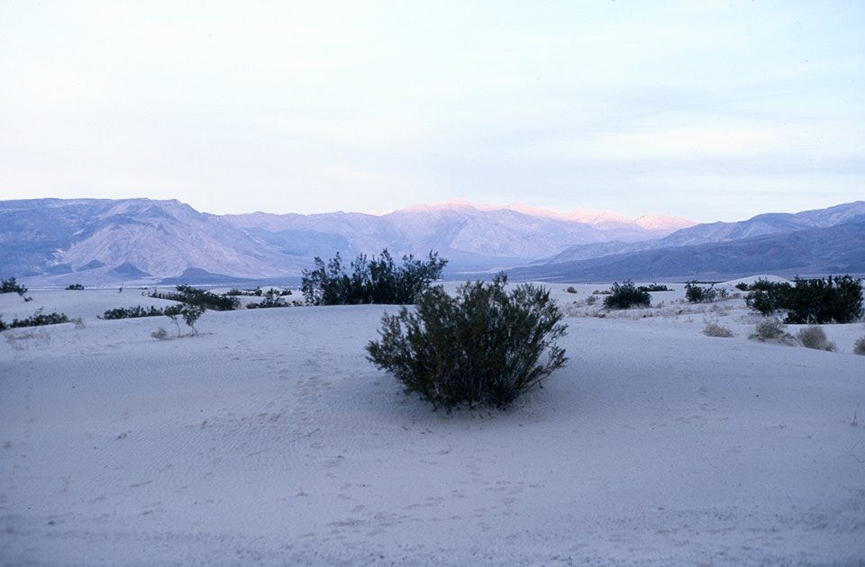
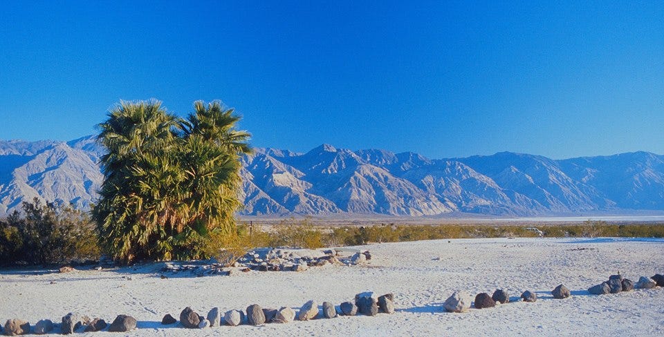
After the salt lake, there is a large area of dunes. Shrubs have started encroaching on the periphery, but the central dunes are largely barren. They will feature again later in this tale.
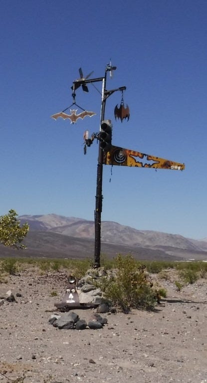
Warm Springs Road is an easy-to-miss unmarked sand and dirt trail, just past the dunes and going right. While before the main threat to your vehicle was sharp rocks and washboard road, now the road makes sudden dips and climbs with the occasional sand trap. It still is not unreasonable to take a 2WD with good ground clearance back here, and if driven with caution, a Subaru Forester or equivalent should do fine. En route, you pass a decorated pole with bat symbols and other odds and ends.
We also passed a Toyota truck with a broken front axle that had been there for weeks. This is the penalty for going too fast. Towing service costs several thousand dollars. By the time you get to the palm trees marking the locations of the springs, you have traveled 50 miles down rough dirt track over 3 hours.
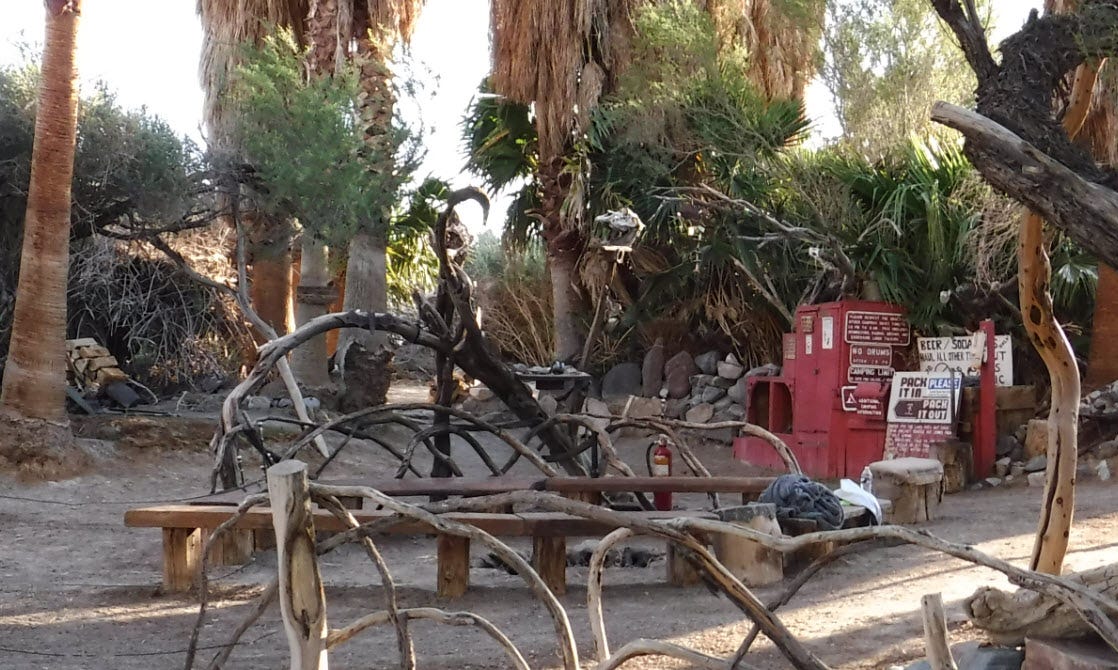
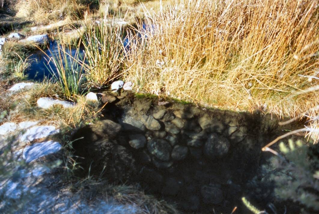
Volunteers have developed the lower and middle springs over the years, and visitors to them have formed a bit of a cult. Several concrete and stone tubs are distributed at two locations, with water being piped directly from the original springs. The lower springs are the more luxurious, with lots of shade, structural shelter from the elements, and even a lending library. Runoff is used to water a small lawn, and a debris fence has been erected to keep the burros out. Upper springs are somewhat wild.
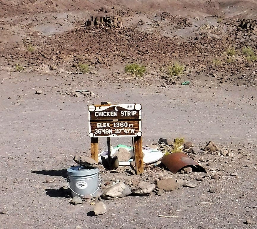
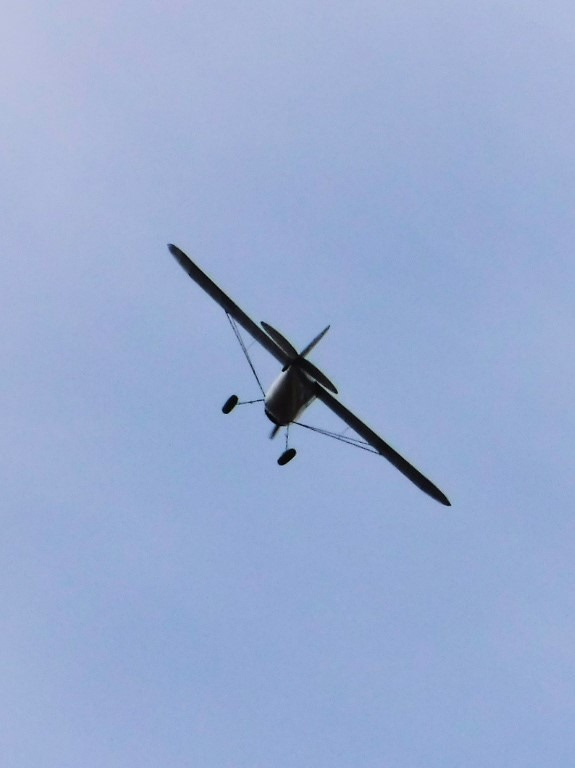
Back in '94, when Death Valley National Park was extended to include this area, the NPS was kind enough to install permanent prefab pit toilets. There is a small crude runway called Chicken Strip for adventuresome pilots. There are showers and washing facilities at both springs. However, there is no potable water, food or cell service. If you get stuck out here, you will have to depend on the kindness of strangers to save your butt.
The rule here is clothing optional, and nobody bats an eye at naked people wandering to and fro. It is entirely a fashion choice if you're wearing anything at all. Real shoes are highly recommended. Traipsing barefoot on broken pumice and travertine is painful, and it will destroy flip-flops.
We got there at about 2 pm. on Saturday. Tents went up, and I was off to the spas. You meet an eclectic group of people. There are locals, but one campsite had a trio of boys from Stuttgart, Germany, fresh out of high school. They tried to sell me the 97 Cherokee they bought for this trip. Another was an elderly couple from France. And there were people of all genders and all ages from several US states.
We camped at the middle springs. It is the less developed spring and has little physical shelter. In my book, less developed and less used is good.
To say it was a mellow environment would be to exaggerate the action. You can't soak in a tub of the temperature of your choice for long before all the stress and the worry ooze out of your pores along with the sweat. Water is very clean as everyone is asked to shower before use and the water gets changed and tubs washed regularly.
I understand the place can get pretty crowded on holiday weekends, and parties and ballgames ensue.
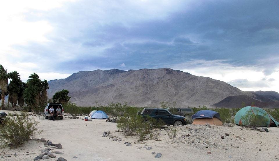
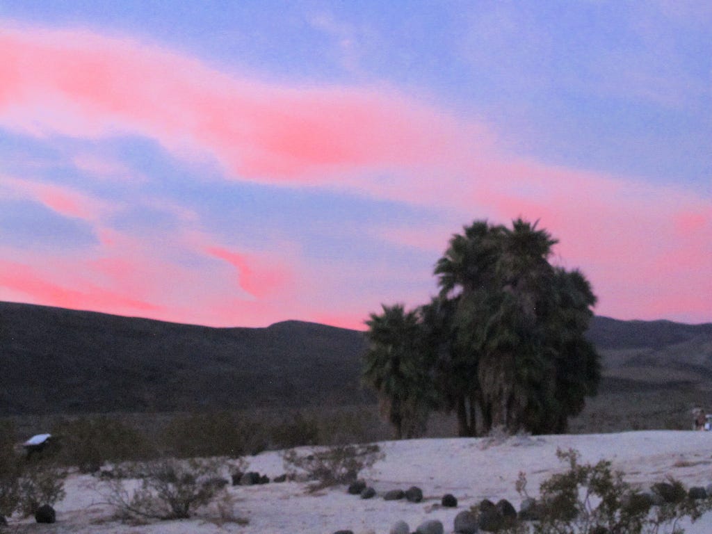
The evening gave a spectacular red display. I couldn't capture it well, as my camera didn't like the low light.
That night was a new moon. I saw quite a few shooting stars, and one was quite dramatic. It was a huge fireball, breaking apart and sending off shards across the sky. About 30 seconds later, I heard a faint boom. This may have been the beginning of the South Taurids meteor shower. Seems too late to be the end of the Orionids.
On many evenings, the fighters from the China Lake Naval Weapons Station come by to buzz the springs at treetop level. The time before I was here, they buzzed us several times. The sound and shock waves were overwhelming as the water danced and the ground shook. This year, no luck. Ah well! Need to come back mid-week.
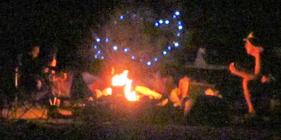
That evening, the temperature did not drop much. It was still a relatively languid mid-70s. Later, when the water had left us all in utter relaxation, we gradually, randomly, and individually wandered back to our campfire. It was hot dogs, shish-kabobs, and marshmallows while we listened to the harmonica and ukulele. And then to bed.
In the middle of the night, nearby burros disturbed my sleep twice. Then, about 4 in the morning, the wind picked up. I went back to sleep without a thought. The burros were a constant presence, grazing on the lawn and mooching everything they could from the campers. If you have enough land, they'd make a good pet. They are regularly rounded up and put up for adoption.
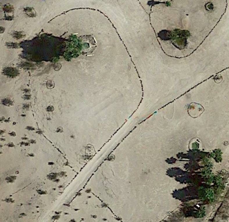
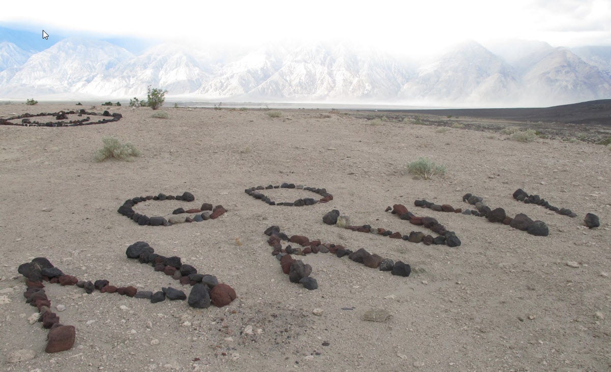
It was still warm at 8 am. The wind had picked up even more. Little bits of dust and twigs flew through the air. There was nothing to worry about, so we returned to our various activities. For me, that meant hiking around and checking out all the petroforms created by the natives to appease the sky gods. There were quite a few, ranging from simple smiley faces and peace symbols to text to complex mandalas and spirals.
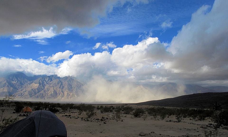
The wind continued picking up and got irritating, so I retreated to the hot tubs for more relaxation. Within about an hour, the back of my head was matted with sand, and the flying particles started to sting my skin. I figure gusts must have hit 40 mph. (It would be cool to install a solar-powered weather station here.) At about 1 p.m., an executive decision was made to end the trip a day early.
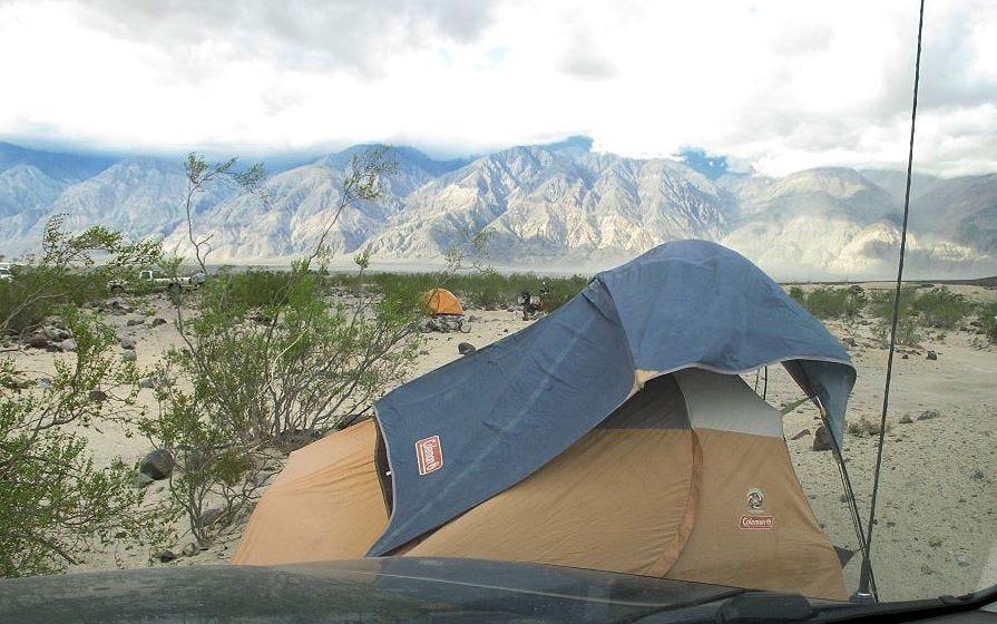
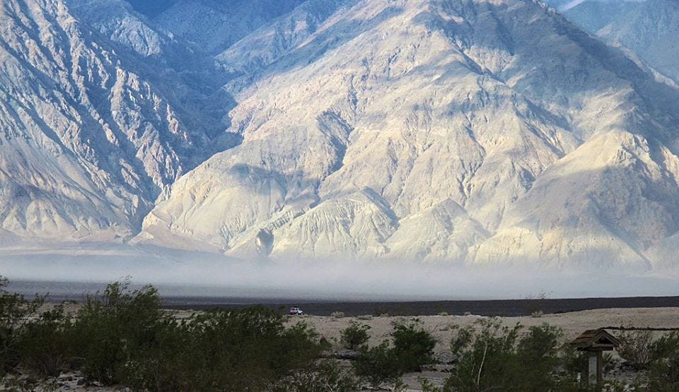
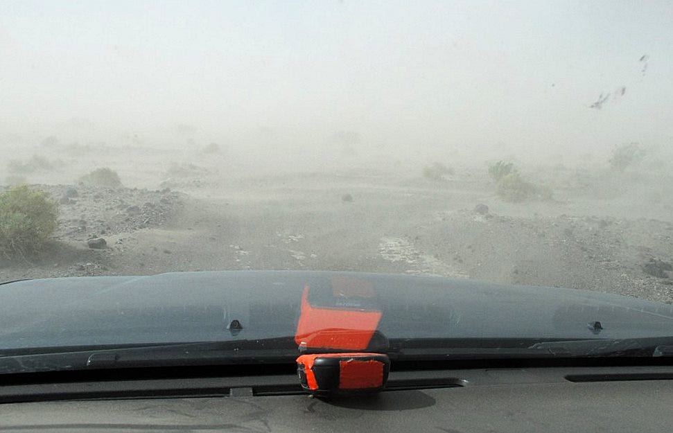
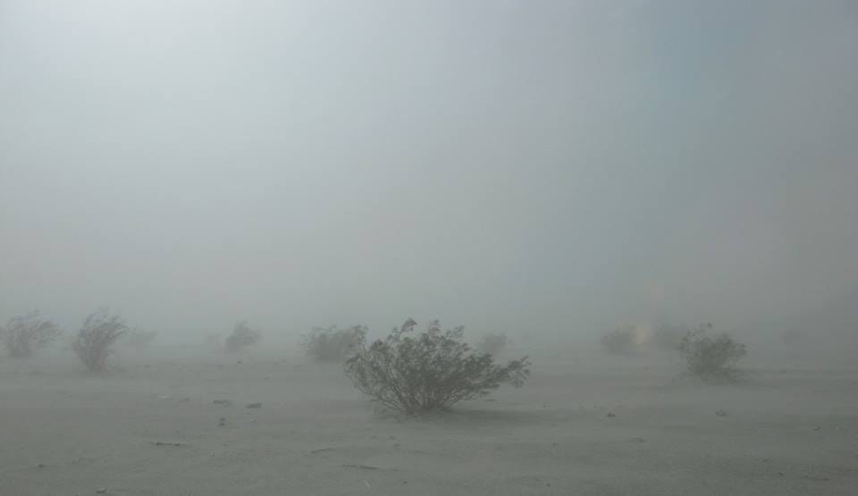
Knocking down those tents in the wind was not easy. Some came close to being demolished before we could get them down. The wind showed no sign of abating, an ominous cloud rolled overhead, and a monumental sandstorm developed along the road we had to take out. (Remember the dunes we passed on our way in?)
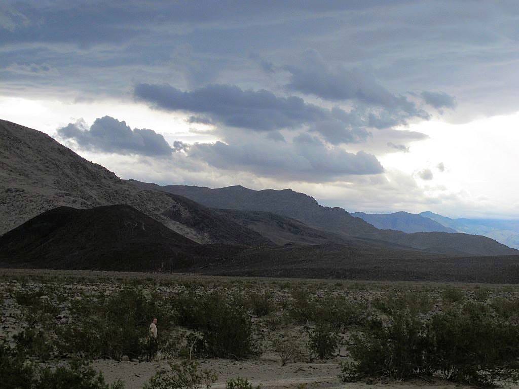
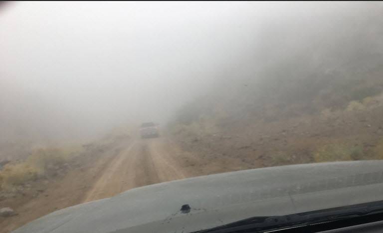
Mother nature was not done with me yet. Driving up South Pass, I climbed into those threatening clouds I had only seen before. The rain simply evaporated at the bottom of the valley before it reached the ground. At elevation, it did not. My rear end skidded in mud as I climbed steep sections or rounded hairpin curves. Once again, visibility was nearly zero. The rocks I had cursed on my way down as dangers to my tires were now my friends; they were the only things my tires could grip for traction.
No real need to get dressed until just before you hit the pavement. (People may look at you strangely if you leave your vehicle.)
Somehow, I survived it all, and after a meal and a gallon of coffee in Olancha, I headed back home. The rough spots were exciting and fun, the easy times were ultra-relaxing, and my carpool companion paid for my gas. What more could I ask for?




I loved reading about your trip to Saline Valley Warm Springs. I have been there about a dozen times, my former partner, over 20. we would go for five days - it takes 2-3 days to get LA out of your system. we were entirely nude the whole time we were there. great hiking in the mountains about an hour to the west. I wish I could remember the name of one hike that ends in a fern grotto on the NW side of the mountain that is nourished by a continued stream of water year round. stand in the cold water and gaze out to the scorching desert landscape! we hit a rock on the drive out and ended up with our Jeep Cherokee laying on its side. I was left hanging, naked, held in place by my seat belt. LOL. a good samaritan an hour later came by with a tow bar and righted us. we were on our way back home, this time dressed. I hadn't been there in awhile as I don't have anyone brave enough to go there with me.
I am thrilled just by reading the description of the place & the corresponding images. However to visit such a place, it needs a tremendous courage, perfect preparation & temperament.. You have these qualities..I accept that I don't have it..