I've been through the desert on a trail with no name
Photo essay: Another excellent adventure in California
I have had zero freehiking or even textile hiking for several months. Two months ago I made the mistake of getting Platelet Rich Plasma injections in my knees for arthritis, and since then my knees have bcome badly inflamed. “Minor discomfort for a few days,” they said. It didn’t work out that way. Never again.
This is from June of a while ago …
This hike is in the Los Padres National Forest, starting from the Yellowjacket Motorcycle Trail. Total distance was about 5 miles. Total time hiked was about 6 hours. Well ... I spent a lot of time doing photography. And clambering up hillsides and over logs and through the brush. I also spent a lot of time resting and feeling hot. More on that later.
OTOH, CalTopo seems to think that 1 mph is about right for bushwhacking.

To get there, you head north of LA on I-5 and get off at Frazier Park Road. Head west about seven miles to Lockwood Valley Road (and the small community of Lake of the Woods) and hang a left. Proceed about 11 miles until you turn off to Grade Valley/Mutau Flats Road. You're now entering one of my favorite hiking areas. Head south 3 miles, and you get to the Piano Box Loop, turn off and hang a left. The turn is obvious, and there is a sign.
Piano Box supposedly got its name from a gold mine where they hauled out a piano for evening entertainment during the rush. The area had been more heavily forested, but the 2006 Day Fire burnt most trees, and the ongoing 20-year drought prevented new trees from sprouting. Other areas that were intentionally reforested now have 17-year-old trees. This area was not a high-visibility area, so no replanting. Perhaps the recent rains (El Niño and Tropical Storm Hillary) will start the process naturally.
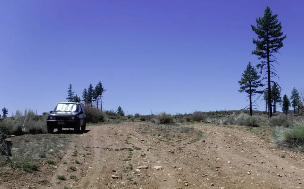
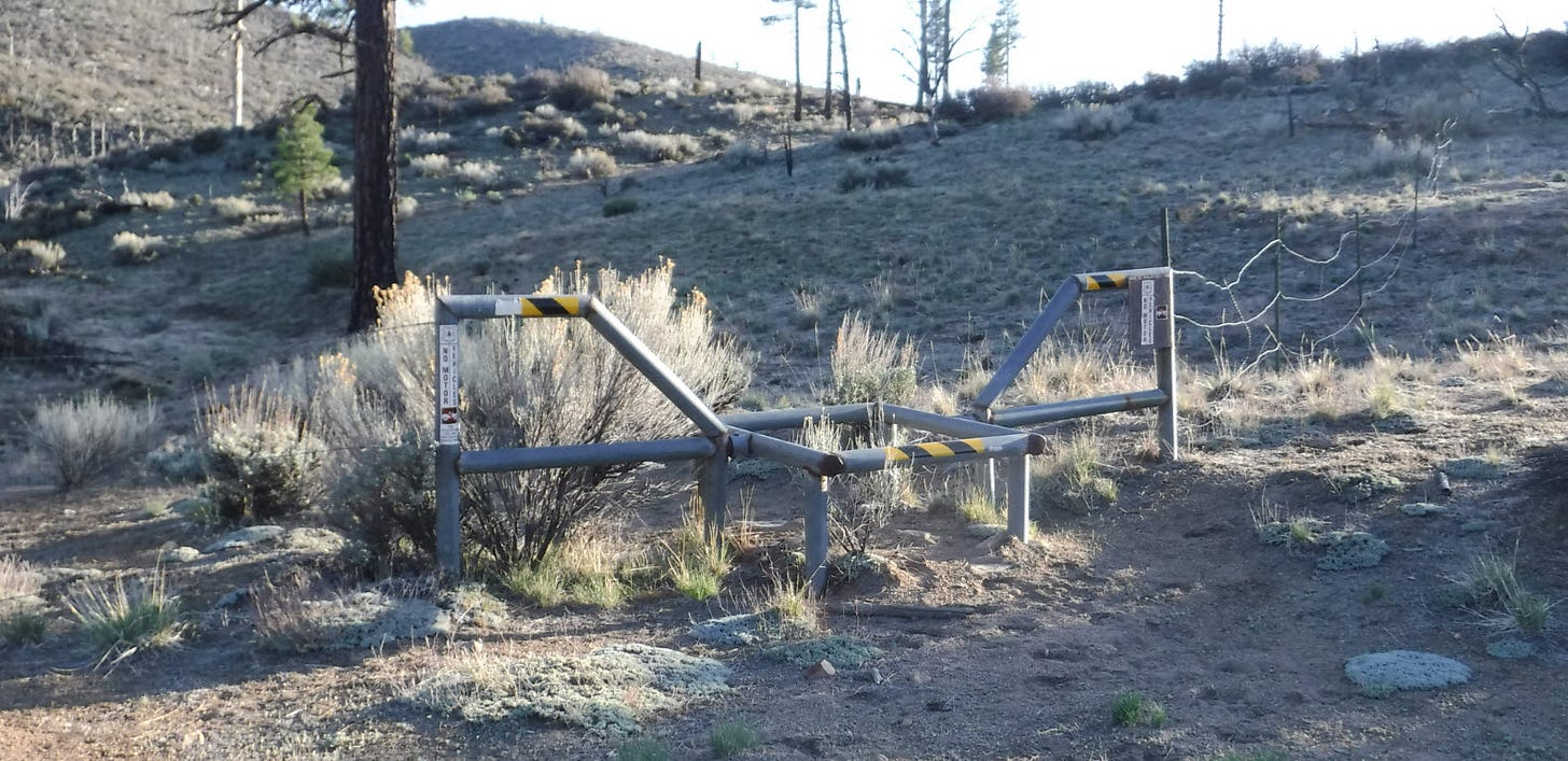
Once you get to Piano Box Loop, if you aren't already in 4WD, this would be a really good time to do it. Most of the time, you could make it in hi-clearance 2WD — if you go slow — but rough patches are waiting to punish people who would drive this faster than a human can run. Just keep going straight until you can't go anymore. There will be a barrier preventing autos from going any further.
Ahead of you is the Yellowjacket motorcycle trail. One could get naked right there, but Yellowjacket is a pretty popular trail for the dirt bike crowd. On weekends, I'd keep my clothes on until I got to the foot trail. It becomes a safe bet later in the day, especially mid-week, so I drop my clothes.
This was not a high-elevation hike like hiking around Mt. Pinos. It ranged from a high of 5,635 to a low of 5,225 feet. That's high enough your lungs will notice but not enough that altitude becomes a concern. The day's high was in the upper 80s; I don't like demanding exercise over 90F (32C), so this is tolerable, but I sure wish there was more shade.
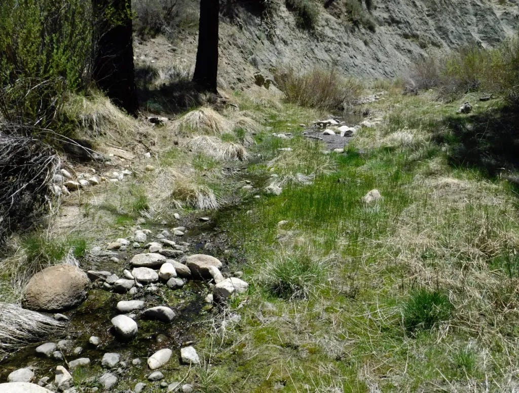
I cross San Guillermo Creek. It still has water in it, disappearing into the ground and re-emerging when underground rock formations force it back up. Soon, it will be as dry as everything else. I wouldn't drink it unless it were an emergency and did everything I could to filter it. This is cattle country with regular cow patties to remind me.
Of course, if it is a survival situation and you don't have a fire or a filter, you drink what you have. Better to be sick later than dead now.

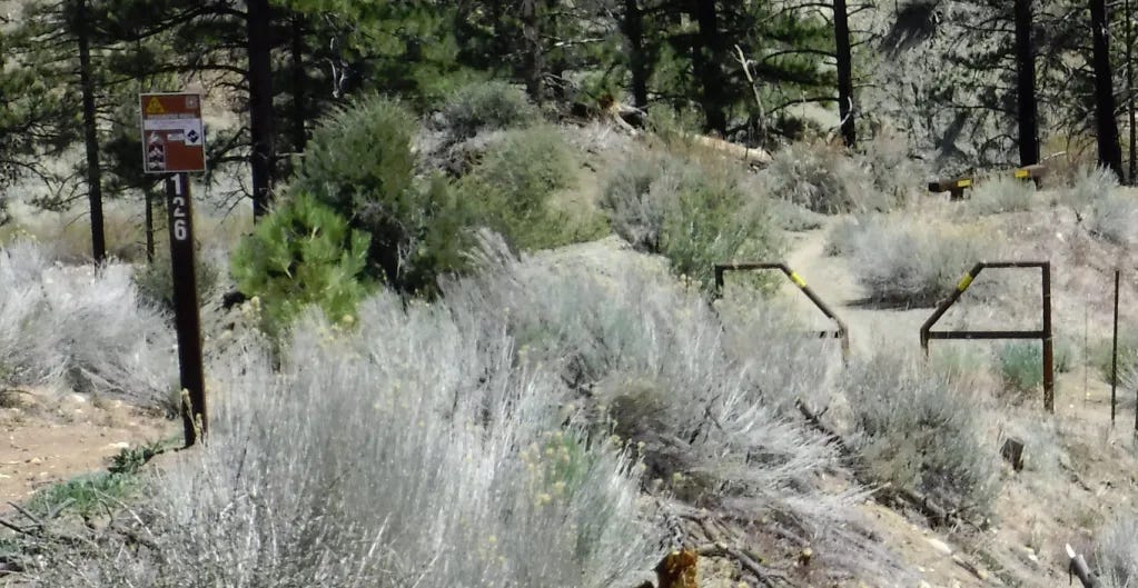
To your right, about a half-mile in, is where the foot trail begins. There is a barrier across it to stop dirt bikes but allow foot traffic through. This trail used to be a road (as are most of our trails) about a million years ago, but it has been gated off for so long it is only intermittently discernible as such. This trail once had a Forest Service designation, but I cannot find it named on any maps. I believe it was 20W18 from a bullet-riddled and fallen sign I encountered a couple of miles in. Ninety-nine percent of the traffic on it is during either quail or deer hunting season.
The forest service maps show no such trail, and neither did Google searches. The trail designation must have been removed long ago. It is a trail with no name.
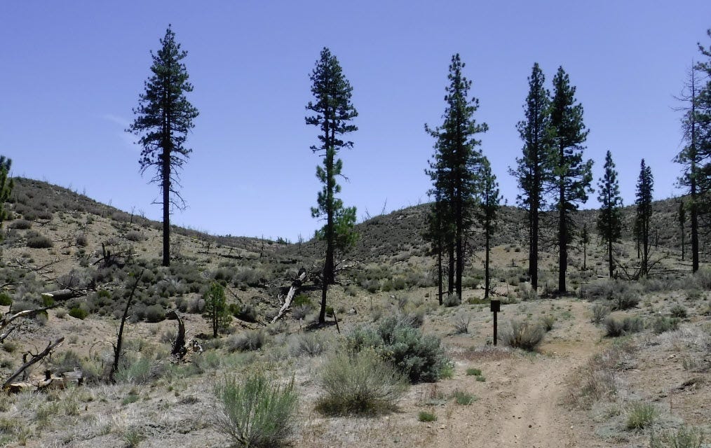
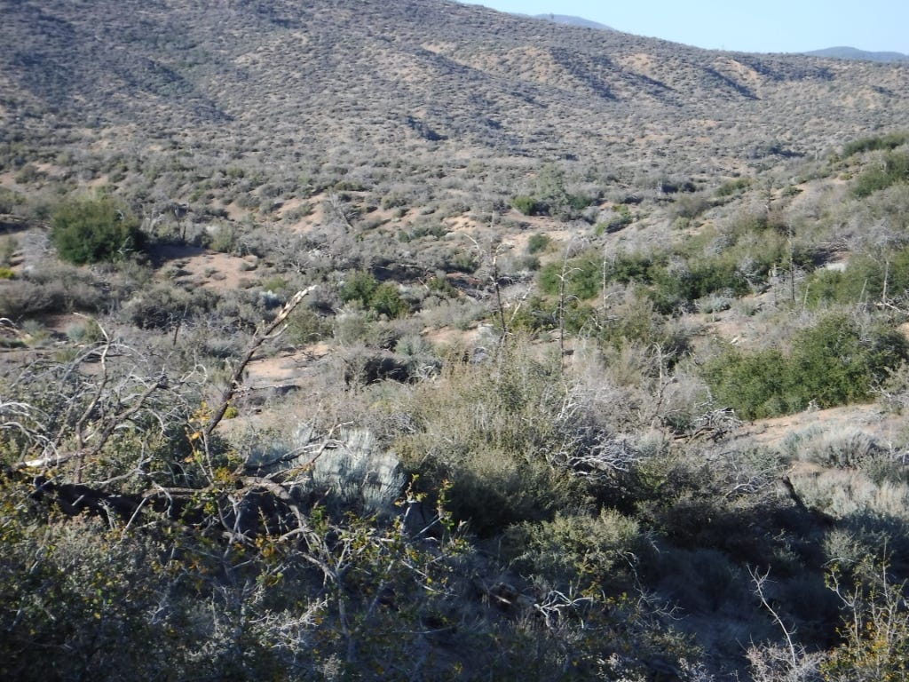
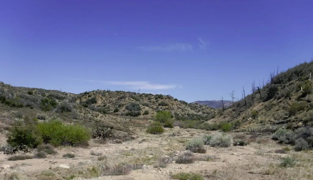
I pass through the barrier and head uphill to a saddle. Straight ahead, there's a knob from which you can get a lovely view of the surrounding landscape. Turn left, and you follow a dry creekbed. Most of it is eroded away, but occasionally, one still finds level spots that were obviously cut into the slope of the land. For a fair amount of time, you're just heading in a general direction, parallel to a dry wash. I follow it down until it opens up in a broader valley. I haven't found a name for the valley or the dry creek on any map.
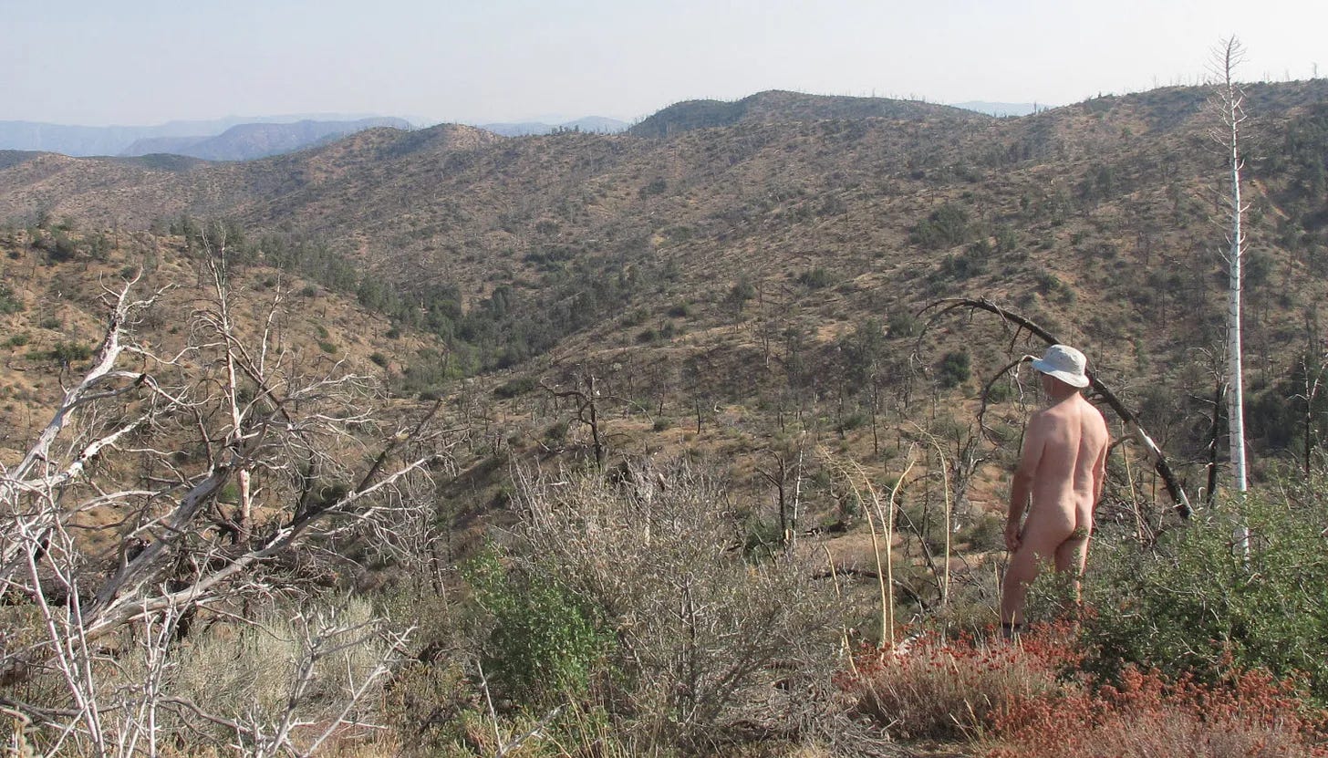
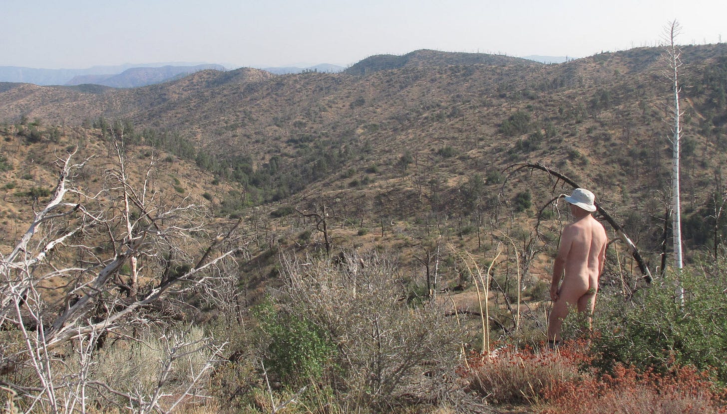
I've said before that the best part of a nude hike is when you forget you are nude. I find that the more nude hiking I do, the more quickly I achieve that state. This time, it was almost immediate. Years ago, it would only be after miles of hiking. Of course, I know I'm nude on some level, but it isn't a conscious thought. It is something I'd have to be reminded of.
I'm not thinking, "Good golly, Miss Molly. I'm nakie!" (Decades ago, I might have done so.) Does a textile hiker constantly think about how they are wearing clothing?
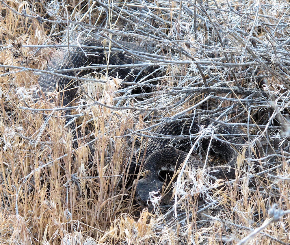
Instead, I'm focused on other things like flowers and wildlife and watching for snakes, avoiding loose rocks, or being immersed in the intricacies of doing a photo or a video. Encountering someone, approaching a busy trail, or a sudden cool breeze still reminds me that I might want to cover up, but who knows? Maybe someday I'll even forget about that.
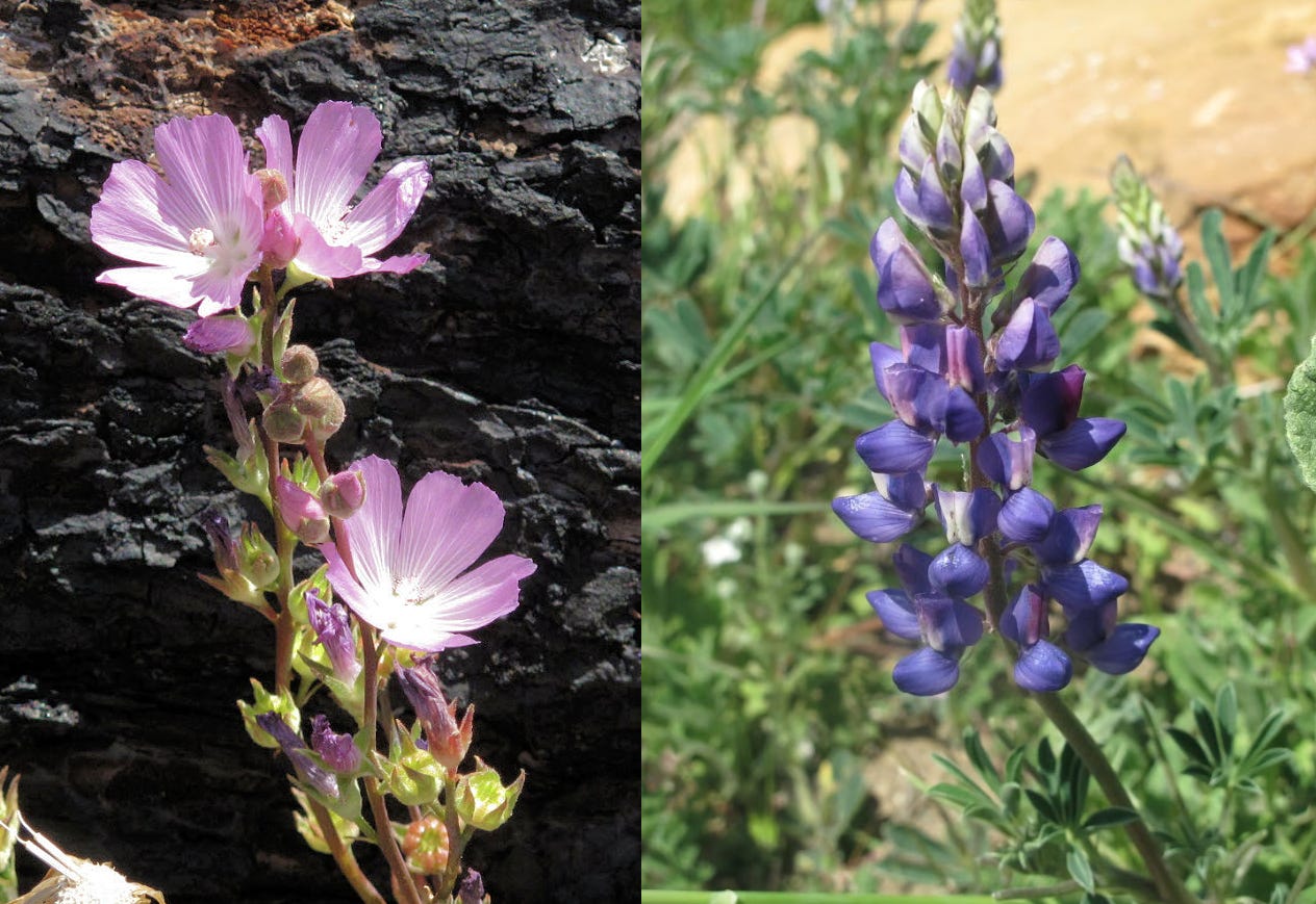
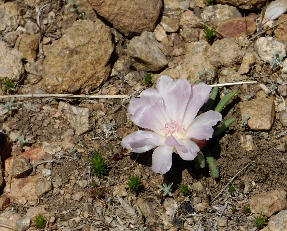
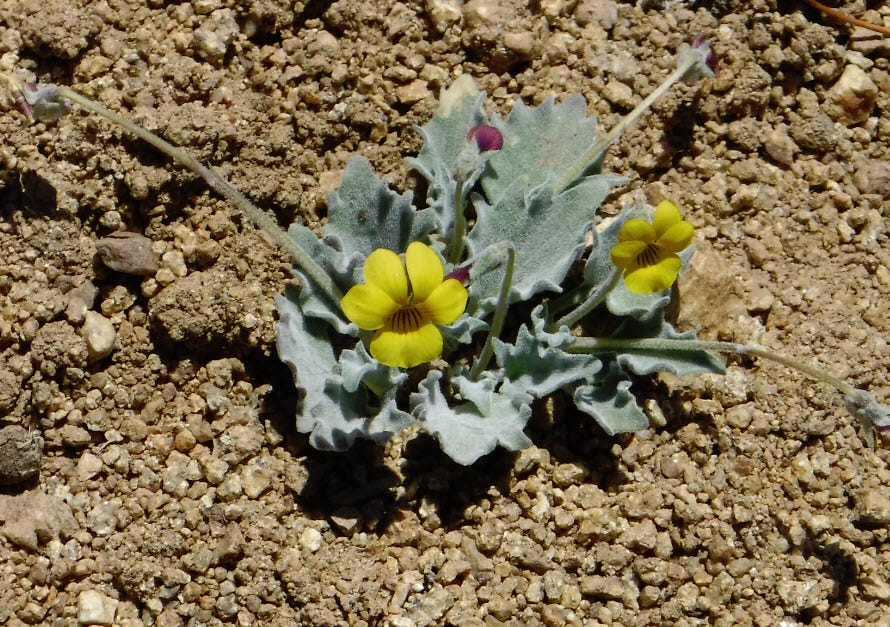
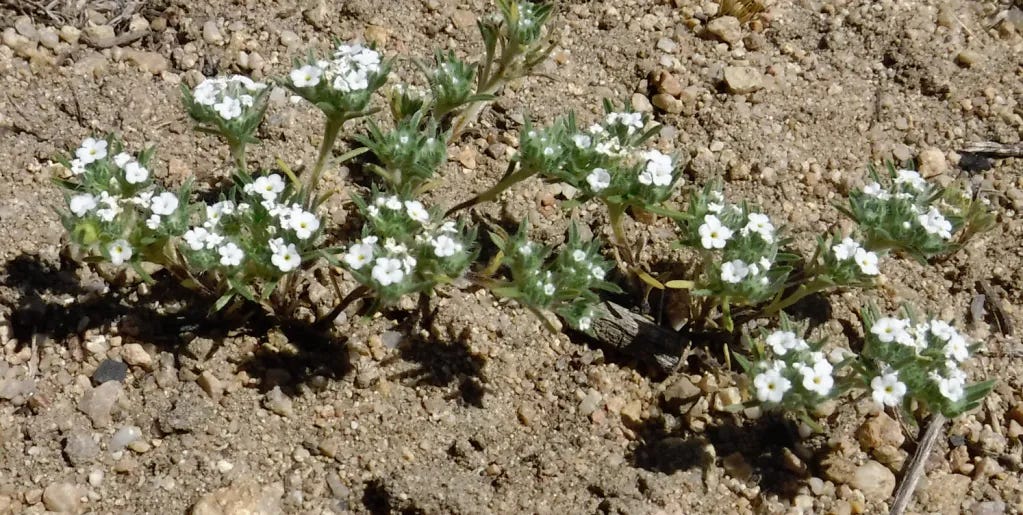
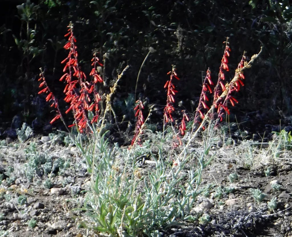
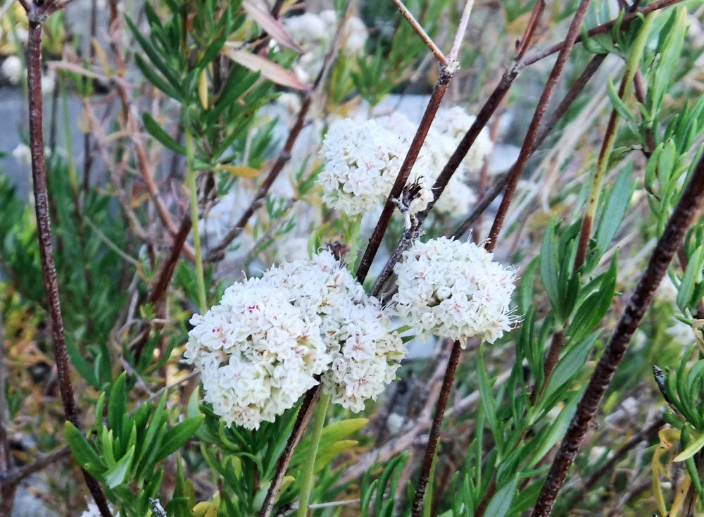
If you looked off in a random direction, you wouldn’t see much in terms of color. Only when you stop and look closely do you see wildflowers.
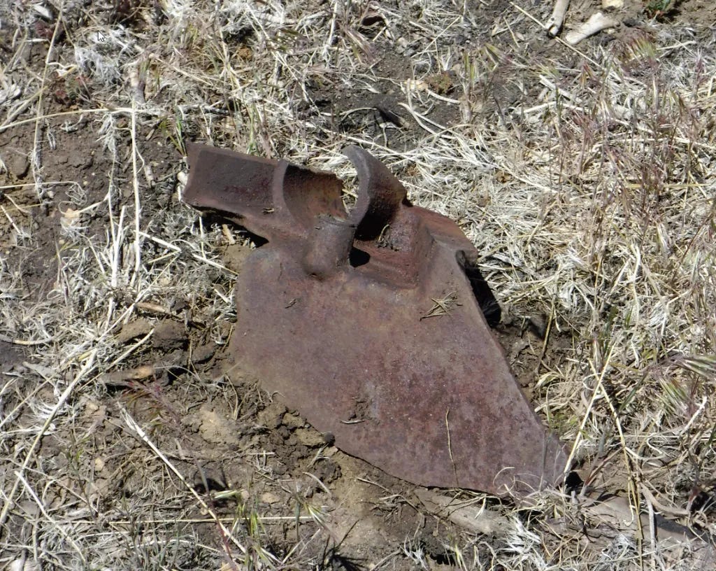
At first, the valley is pretty easy hiking. I saw a couple of hunting camps hidden in a few bushes along the way. This isn't an official wilderness area, though it ought to be. Despite the fence and gate, I see motorcycle tracks in areas where I can't imagine how they got it down there. There are also footprints, one set going out and another returning. It looks like someone came down here over the last weekend. Nothing I'm going to worry about.
One particular "camp" seems pretty elaborate. There's a plastic tarp and several unopened cans of food, a frying pan, and some drinking cups. A couple of gallon water bottles were buried up to their necks in the sand. This had to be recent because the plastic in those jugs will not survive long out there. I briefly thought about cleaning up the site but decided against it. It isn't legal wilderness. Littering is illegal, but caching supplies for future use may not be. And I thought about a hiker who might come here expecting to find supplies - only to find nothing. It could leave them in a dicey position.
This is also near where the footprints stop. It is the farthest anyone has gone this way for quite a while.

The plant life changes once you reach the point on the map where it indicates a spring. Willows start growing thickly. Each tree emits a powerful hum as honeybees work hard to collect nectar. The trail becomes impassable, and I have to climb up the valley's northern side and clamber through deep ravines to get around it. I set my sights on a distant Coulter pine that survived the inferno as my destination for today.

I am not going to get nearly as far as I had hoped. The trail goes on for miles on the map, but thick brush forces difficult hillside traverses and much bushwhacking. With my current physical condition, my unfamiliarity with the area, and my time constraints, I'm as far as I can reasonably get. I didn't get to the trailhead until 1 p.m., and I wanted to return to my car with a reasonable amount of light. I set myself up in the shade of the tree's trunk and had lunch. Today's menu included a Babybel cheese ball, apple sauce, diced peaches, and Fiber One soft bars. (I had more food in reserve, should I need it.) I lay in the shade of that tree for about 15 minutes and headed back.

Of course, something HAD to go wrong. I shot a video, didn't like it, and then went to delete it. Must have pushed the wrong button - it deleted every image in the camera. 😥 But not one to fret, I swapped out the SD card for a fresh one. When I got home, I stuck the erased card in a reader and used a utility, Active@ Uneraser, to unerase the images. Managed to recover the stills, but most of the deleted videos were corrupted and could not be saved.
With neither shade nor wind, the heat started feeling oppressive. I put my shirt on for a while. In hot weather, a light-colored, loose-fitting shirt reflects heat, traps moisture, and keeps your skin in the shade. I may be a nudist, but I am not stupid.
So I slowly ambled back, taking refuge in what little shade I could find. I found myself resting under scrub oaks and junipers along the way — after checking for snakes each time. Snakes do not like the mid-day heat either.
The effort of scrambling up hillsides and down through gullies was really draining. I was still sweating, so I knew I wasn't in dire straits, but I squirted a bit of drinking water on my head and body to help with evaporative cooling. There was probably water in the deepest part of the gully if I dug, but I wasn’t desperate. I always carry way more water than I think I’ll need.
I was tempted to take some water from that camp I'd seen along the way, but the terrain was easier here, and I no longer felt so tired. After a bit, the spell passed completely. Eventually, it cooled off a bit — the hottest part of the day was around 3 p.m. — so I got naked again and returned to my car just fine. There was no need to dress for the motorcycle path. It was late afternoon on a weekday, and nobody rides their bike on the trail then.
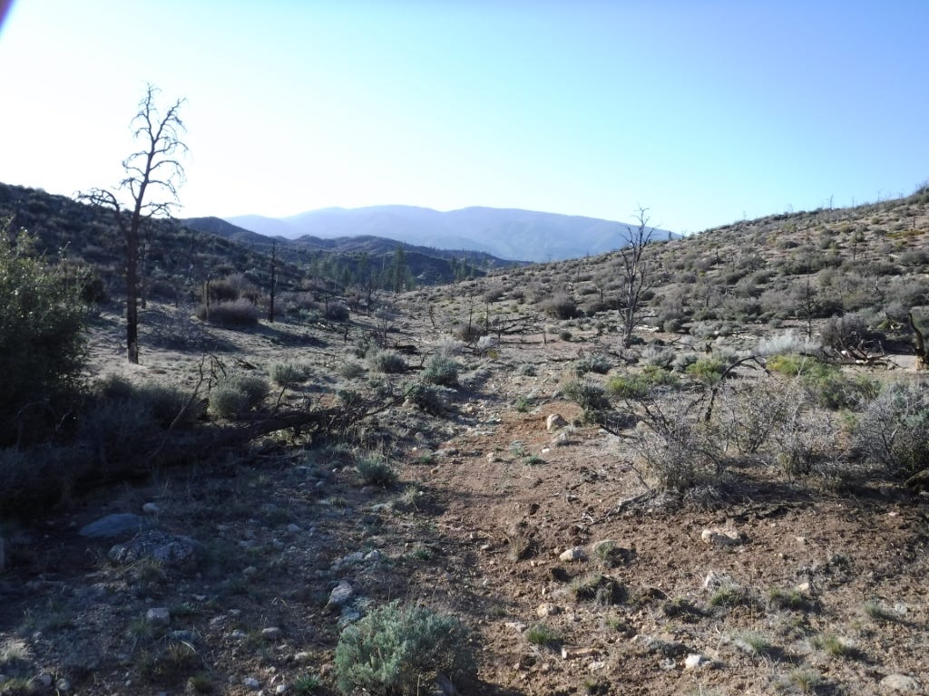
I went about as far as I could go on this trail in my current condition without turning it into an overnight trip. Maybe again in the late fall when it cools off again.
Homeward the wayward freehiker plods his weary way.









In answer to whether a textile hiker thinks about clothes while hiking, I know I do when I’m hiking with clothes on - I’m all the time wishing I could take them off and how they’re sweaty and sticking to me!!
A beautifully detailed description of an exciting brush land hike.
Well done on both counts,
I think that zen state you look to achieve
on your hikes can come to you naked or clothed while you are “engaged” in anything you’re doing.
It’s natural.