Deep Creek - The Long Way
Fred shares another excellent adventure along the Pacific Crest Trail
So… this is another writeup of a past trip to keep us excited for the end of winter and the spring hiking season. This was a weekend backpack.
I’ve been to Deep Creek Hot Springs a fair number of times. Going south from Deep Creek Campground at Bowen Ranch is the most common route. It involves 1.7 miles of unmaintained trails with a 900-foot elevation drop. It is clothing optional from the camp on, and I’m usually naked miles before I get to the front gate.
Another route I have only done once is 5.7 miles long, going east from the Mojave River Dam along the Pacific Crest Trail (PCT). It was with a Hot Springs and Hiking group from Meetup.com who didn’t care if I was nude.
There is also the Bradford Ridge route that I’ll cover in another post.
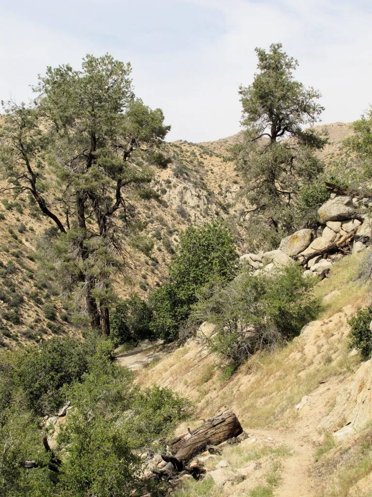
The PCT is one of the three great north-south trails of the U.S., along with the Continental Divide Trail and the Appalachian Trail. It stretches 2,653 miles from the Mexican border to the Canadian border. This particular section of the PCT is very well maintained. It follows Deep Creek its entire distance and presents only gentle grades. I could not recommend a better route for a beginner backpacker.
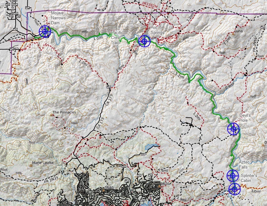
This time, I went north from Splinter’s Cabin, a PCT access point east of Lake Arrowhead. From there you hike north about 9.3 miles to the hot springs.
You can’t go that way anymore.
Splinter’s Cabin, Forest Service road 3N34C, and the PCT from there to Devil’s Hole are currently closed to all but thru-hikers. The Splinter’s Cabin day-use area was so congested that fire trucks could not make it up the road to an actual fire. Most of the traffic was people doing the short hike to Aztec Falls, now closed.
You can still do this hike. You just have to start from the hot springs and go south. Or from the Mojave Narrows Dam, an even longer hike.
On the good news side, it means fewer day-hikers to encounter and more nude time.
If you look at the map, the trailhead is the blue target at the bottom right labeled Splinter’s Cabin, and my destination is the target labeled Hot Springs at the top.
I printed the map on three pages, each covering approximately 3 miles. Good maps can be gotten from Halfmile’s PCT Maps and CalTopo.
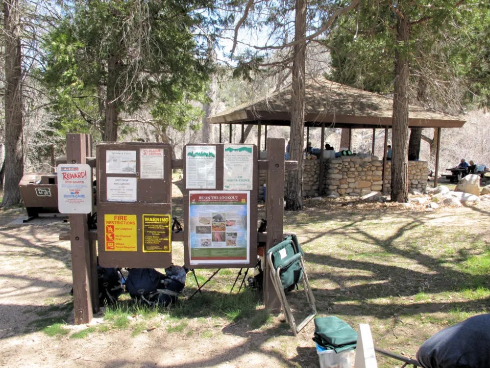
Splinter’s Cabin was built long ago and got its name from the rough wood from which it was built. Today, what remains is a low rock wall over which a modern roof has been built, making for a nice picnic location. It is an important local stop for the PCT as it will be another 3 miles before you find enough flat area to make a camp. Getting to town from here for resupply is about 3-4 miles of hiking.
The word from the rangers is that they don’t care if you hike the trail nude as long as you are more than a mile from the nearest road. That would mean for most of this hike, clothing is optional. That mile gets you past the busy spots at each end.
You could start at the Mojave Narrows Dam and go all the way to Splinter’s. Then you could turn around and go back for 30 miles total, 90% nude, probably taking 2 or 3 days – if you don’t dilly-dally at the springs.
The trail descends from the cabin to cross the creek on stepping stones and begins a long ascent. This first mile was very crowded. I passed this group going in just after passing another group leaving. The departing group has just spent their morning doing graffiti cleanup. The outgoing group will no doubt replace the stuff that was removed
Aztec Falls - AllTrails
Aztec Falls was a very popular swimming hole. Aside from the falls, there is a very deep pool and high cliffs around it. People dive off those cliffs as high as 20-30 feet. I didn’t go down there. If you are interested, check out the AllTrails site.
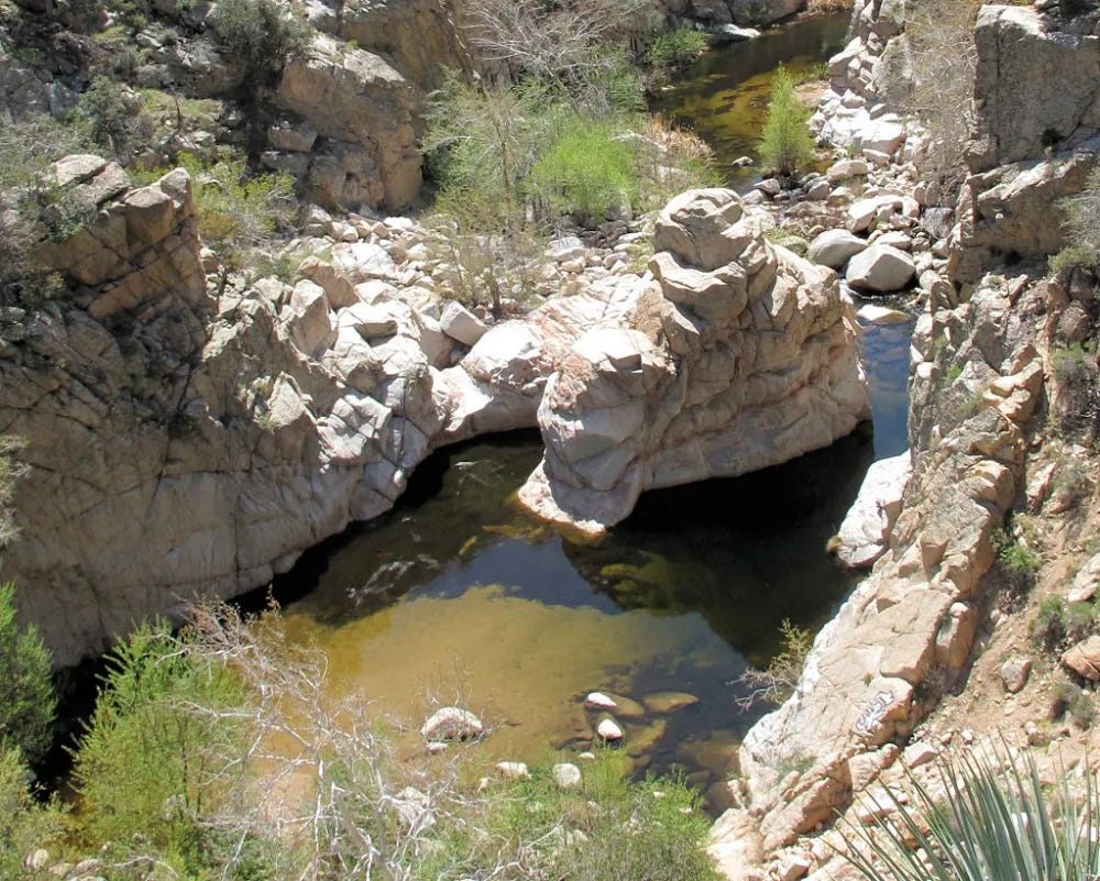
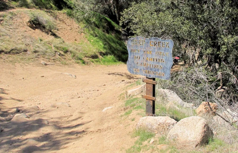
Three miles up, we reach the Devil’s Hole day-use area. It is the one place where a 4WD trail intersects the PCT during this entire stretch. It is the next location after Aztec Falls, where a backpacker might camp and get water. Per the Forest Service request, maybe I should have been textiled for a mile on either side of this intersection. I don’t know if a 4WD trail is considered a road for this purpose, but I didn’t bother. My hat was at the ready. My experience is that 4WD people don’t do a lot of hiking. I was right.
Currently it’s closed, so no problem there.


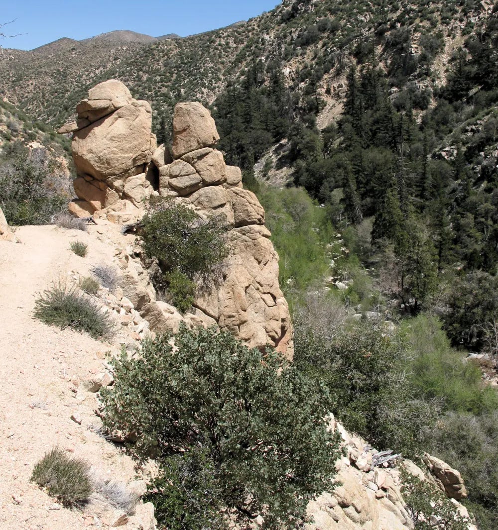
Aztec Falls doesn’t even get a mention on the topo map. However, it is one of four locations you can get to the creek between the trailhead and the hot springs. Most of the time, the PCT hangs precariously hundreds of feet above Deep Creek with near-vertical embankments.
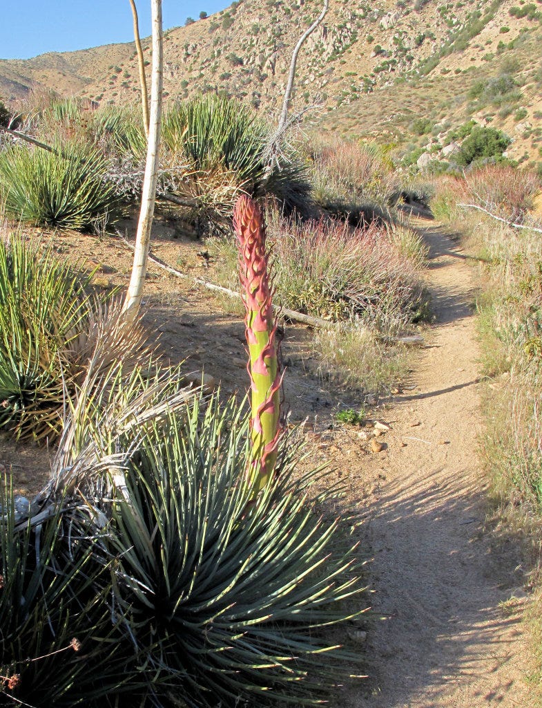
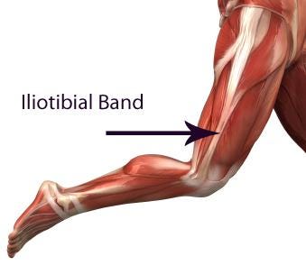
Right around mile 5, my left knee started hurting on the downhill side. Probably my iliotibial band and I slowed to a crawl on the downhills. Wrapped it with an Ace bandage and swallowed a combination of Ibuprofen, Norco and Tylenol. When I found a yucca stave that was just perfect for a walking stick, my sorry butt was saved. I still have it
Two hikers passed me. The first time, I was off-trail behind a bush answering the call of nature (in one of the very few places one could be off-trail), and I noticed a woman hiking by. She must have seen me as she stopped and went around the bush to say “Hi!” We talked for maybe 20 minutes about the trail, and she went on. She was doing a solo section hike of about 500 miles and was 300 miles into it.
Soon, another person, a young man, came up behind me as I sat on a warm rock in a stream and said, “Good afternoon, good sir!” and kept going. After that, I decided not to even think about it.
I spent the evening at the hot springs. Laid out my ground cloth, put my air mattress over it, and threw out a couple of $20 down blankets from Costco. Met some good people, families, couples and singles. Later that evening, some of us sat around the Arizona pool. We passed around a water pipe with a recently legalized herbal material, and Bourbon and vodka lemonade were shared.
I got lucky and the Forest Service rangers didn’t come by to hand out tickets. Camping overnight at the springs is illegal, but my leg was too sore to hike the required mile to where it is legal
I had run out of water by then. However, not to be undone, I removed my mouthpiece from my bladder and replaced it with my Sawyer Mini as an inline water filter. Didn’t want to wait the 4 hours the chlorine dioxide tablets recommended.
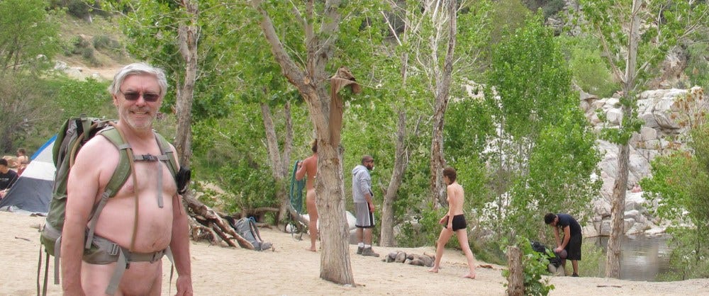
One would think that wearing the backpack’s waist belt and shoulder straps right next to the skin would be problematic, but it was quite comfortable. No fabric to absorb sweat, no seams to put creases in your skin, and the open mesh fabric lining the pack elements didn’t chafe at all. Not all backpacks are created equal, and you should test yours on a short run before tackling anything long. (Though there is always the option of clothing if you must.)
I left Sunday morning. Still naked but wearing my broad-brimmed hat. Met a thru-hiker on my way out, and we said hi and smiled. About a mile down the trail, I had gotten extremely tired. Managed to find a wide spot on the trail where the bank wasn’t too steep and took a nap, snuggled up to my backpack. A half-hour later, I was awake and full of energy.
Thru-hikers are some of the nicest people I have ever met. When I woke up from my nap, a guy came by and was all concerned for me. Was I injured? Was I sick? Should he get help? Another I met offered me Ibuprofen for my knees.
You meet every hiker when you are hiking against the general flow. Otherwise, you only meet when one hiker is overtaking the other.
The weather was weird. When the sun was out, it was blazingly hot. But it suddenly got quite cool when a small cloud would drift across. Went on and off that way all day.

It was getting dark and I was still 2 miles from Splinter’s. A young couple (trail names Qua and River) offered to signal for help and suggested how I might find assistance back at Devil’s Hole. Fortunately, I didn’t need any help but it was very kind to offer. Universally polite and smiling. Nobody even mentioned the nudity.
I wasn’t the only one running out of time. Twice I passed exhausted northbound (nobo) hikers running out of daylight. One was a lady who asked where the nearest place she could make camp was. I mentioned where I had stopped to tape my foot (hot spots developing) and re-lace my boots maybe 200 hundred yards north. I could have slept there easily. All I needed was a mildly sloping spot about 2×6 ft. I hope she didn’t insist on putting up much of a tent.
It became fully dark about a mile and a half from my destination. Cooler temperatures forced clothing. No moon and no stars due to the overcast sky. I can only surmise that I’d been traveling 2 hours slower in my southbound (sobo) journey than I had nobo. The trail was still as precarious as ever, with pain and/or death on one side and a steep slope 18 inches to the right. (I love to overdramatize this. 😉) I clipped on my headlamp and proceeded cautiously down the trail.
No lamp gives you a proper light for this kind of work. So many details that even twilight shows you are invisible with just a headlamp. What is the exact slope of the trail? Does it bank to the upslope, is it level, or does it bank to the downslope? Is the sand soft? Is it hard? Is it a flat rock surface? Everything loses contrast, and the outside world no longer exists for orientation. The answer is just to go slow.
I spent the next hour focusing on the trail a couple of feet ahead of me, using the stave to test the consistency of the trail ahead as well as for balance. I understand why people who don’t return to the trailhead on time might call for rescue. Without that headlamp, I’d still be back at Devil’s Hole with Qua and River.
Obviously, I survived, And I knew I would, although the intensity of making sure had started to wear on me. Four hours later, I was fast asleep with my wife, two dogs and our cat. Would I do it again? Oh yes! Just wait for the burning in my muscles to subside.





I really enjoyed reading the article.
I have done the Bowen ranch route twice. If you are out of shape, leave early to return to your parked vehicle, the 900 foot elevation increase takes a lot of effort. I would recommend planning two to three times longer to hike out then the time it took to hike to the springs.
Deep Creek Hot Springs is the only one hot springs I have so far visited.
I’m always excited to see I have another of Fred’s well written, detailed, wilderness trail hikes to read about. He writes brilliantly in a mode that puts his nudity on the same level as the colour of a new pair of trail shoes.
Even if this one has a little drama and tension we know he’ll end up well,
Reading his tales is such a dichotomy from the nature adventures we can experience here in north central Quebec. Today we hiked on 18” of a frozen lake covered with 2 centimetres of watery slush in 3 degree’s Celsius , how ca we make that interesting.
Keep ‘‘em coming Fred…