


Summer solstice on the Pacific Crest Trail
Photo essay: Fred escapes the heat of L.A. by freehiking in the mountains

LOS ANGELES — It was 96 degrees F at home for the summer solstice, so I headed up to the mountains for my hike. I did it on two segments of the Pacific Crest Trail that were fairly flat. For some reason my hill-climbing ability seems to have become depleted. Probably due to the alpha-blocker I’m taking.
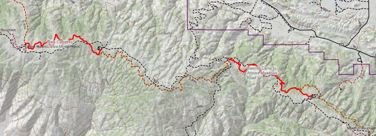
To get there, you have to drive on dirt roads. Any two-wheel drive car can make it when it is dry — with caution. When it is wet or snowy, the gate is closed, and nobody gets up there. Before I started either hike, I ensured nobody was parked at the trailhead. This being Thursday, the chances of someone being there were close to nil. This is a weekend playground. Even then, there are few hikers, and most people stick to the dirt roads
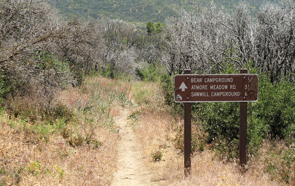
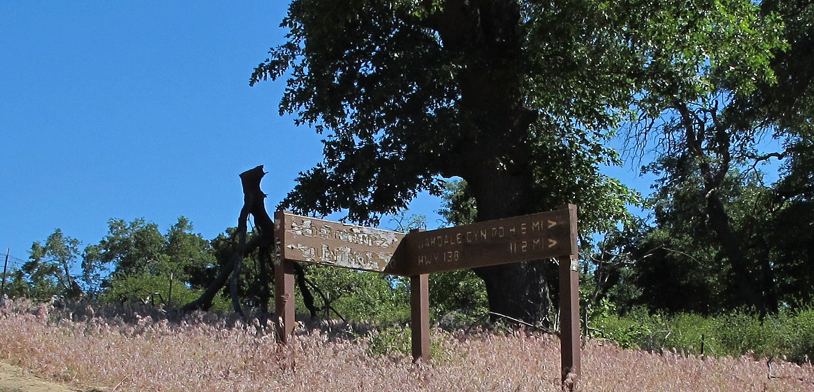
I started out at Sawmill Campground and headed east toward Atmore Meadows Road.
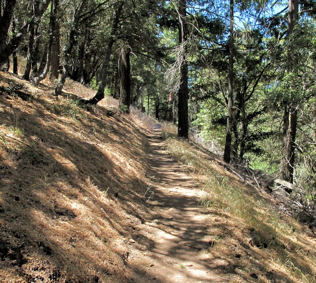
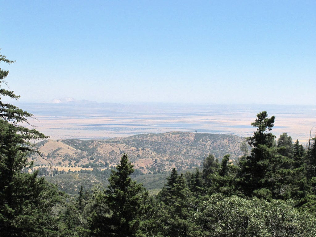
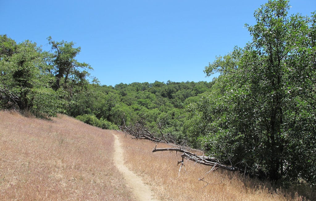
The hike on the mountain's north side wends its way mostly through pine forest (see top photo).
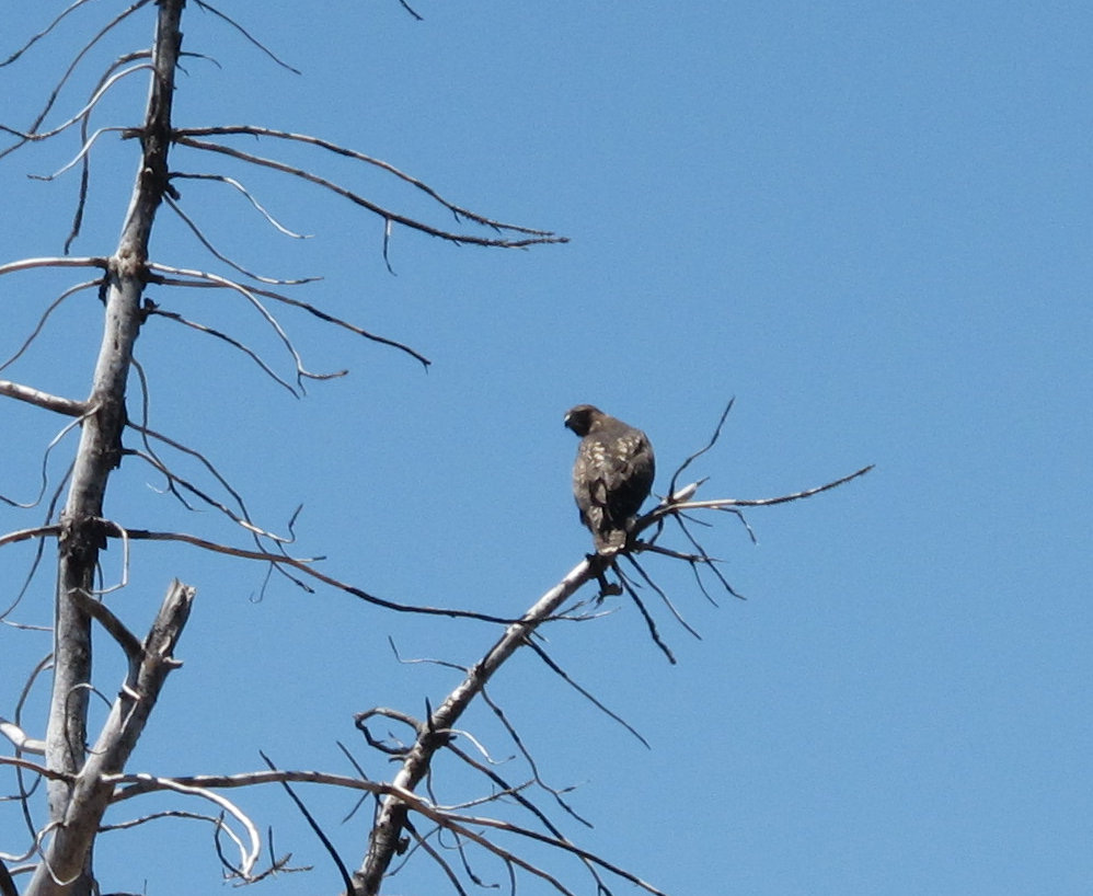
Walking along, I frightened a red-tailed hawk from a perch on a stump just a few feet away from me. It was a brown bird on a brown stump. I didn’t see it until it noticed me and flew off. I tried to get the camera on it, but it was too fast for a close picture. Fortunately, it perched on a nearby snag where I could get a photo.
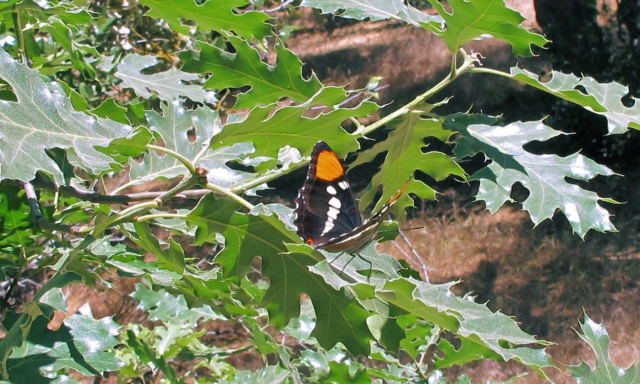
Now, what had caught the hawk’s attention so totally that I could get so close unnoticed? Partly it is because I don’t make a lot of noise when I walk.
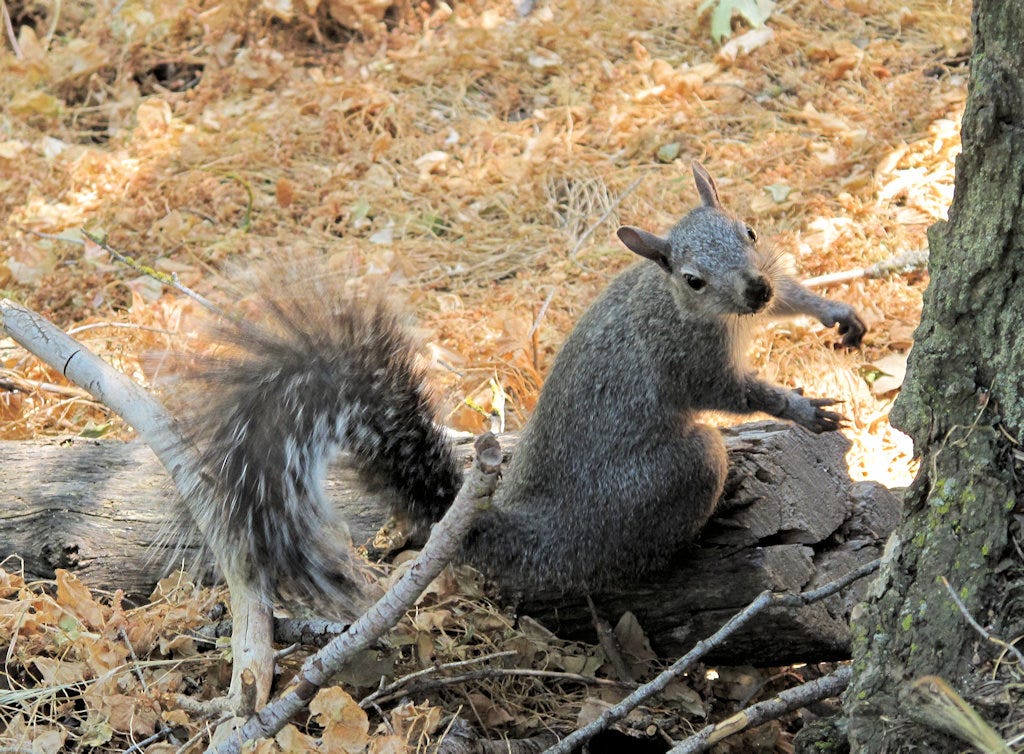
But the main reason was this guy. It was totally oblivious to the peril it had been in. If I hadn’t come along, it would have been dinner.
Looking north, one can view most of the Antelope Valley. Most of those dark splotches on the desert floor are solar farms. There were many landowners who were suckered into buying real estate in the valley — which had never seen an antelope. It is much too hot and dry. The predicted megacity never materialized, and whatever farming there was went extinct over the last few decades of drought. The land is finally worth something for producing electricity.
I don’t know how the desert tortoises in the area feel about it.
Sawmill Mountain has an evergreen forest on its northern slopes. The trail drops out of the forest and into a drier, more open area.
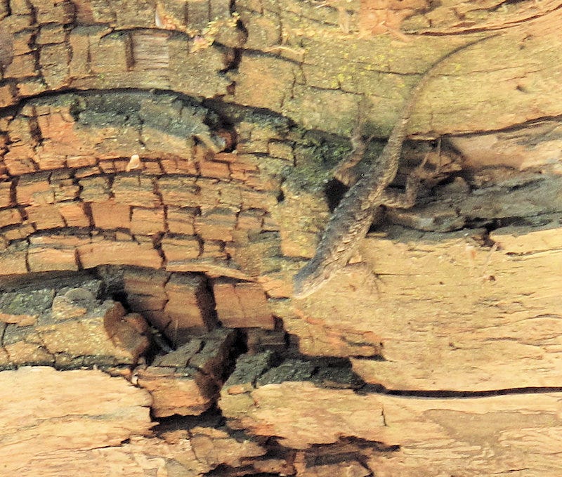
There were so many lizards on the trail I could call this the Festival of Lizards Day. Its color is a good match for this log.
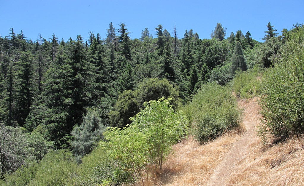
The trail runs close to the road for maybe a mile, usually far enough below the road so as not to be visible, but there is one road crossing. Then I turn around because the trail starts going uphill steeply.
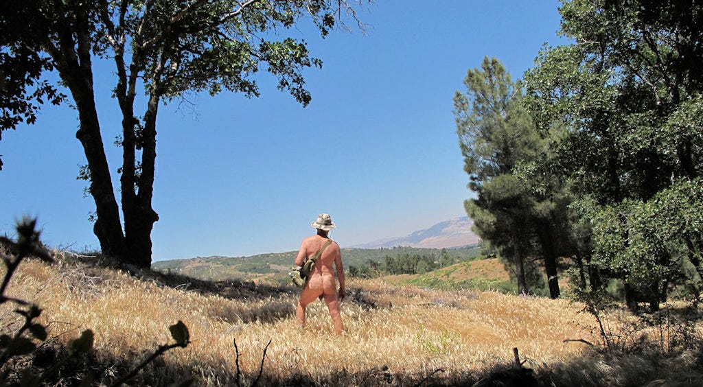
Now I’m off to Bear Campground. I like to think of it as Bare Camp because I’ve been naked here several times. As I drove there, I passed a dirt biker and a forest service truck (with my shorts on). They were the only two vehicles I saw or heard all day. Bare Camp is on the southern side of the ridge, meaning the trail passes through chaparral instead of forest. The southern exposure makes it much warmer and drier.
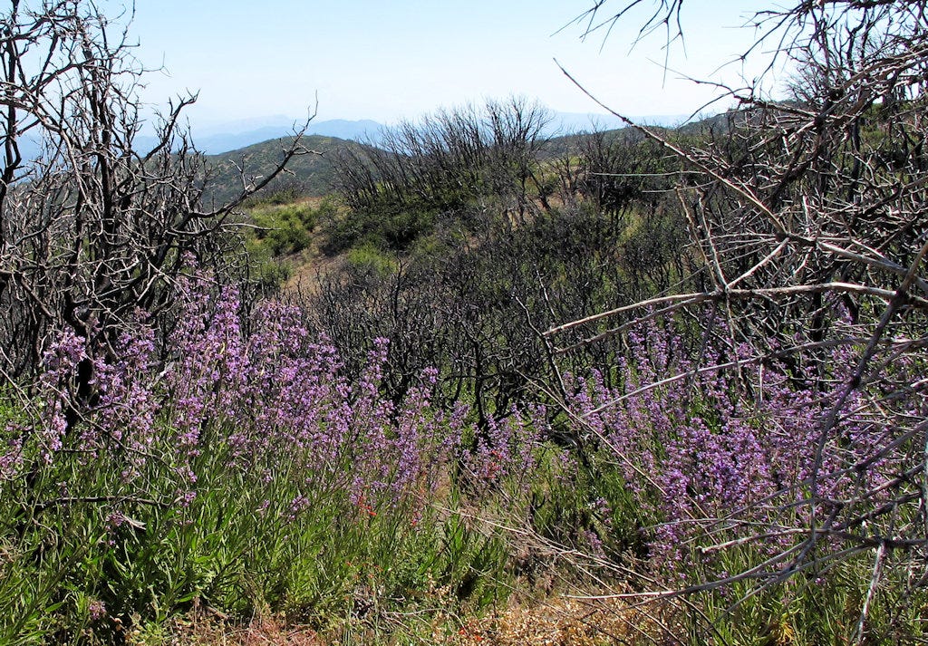
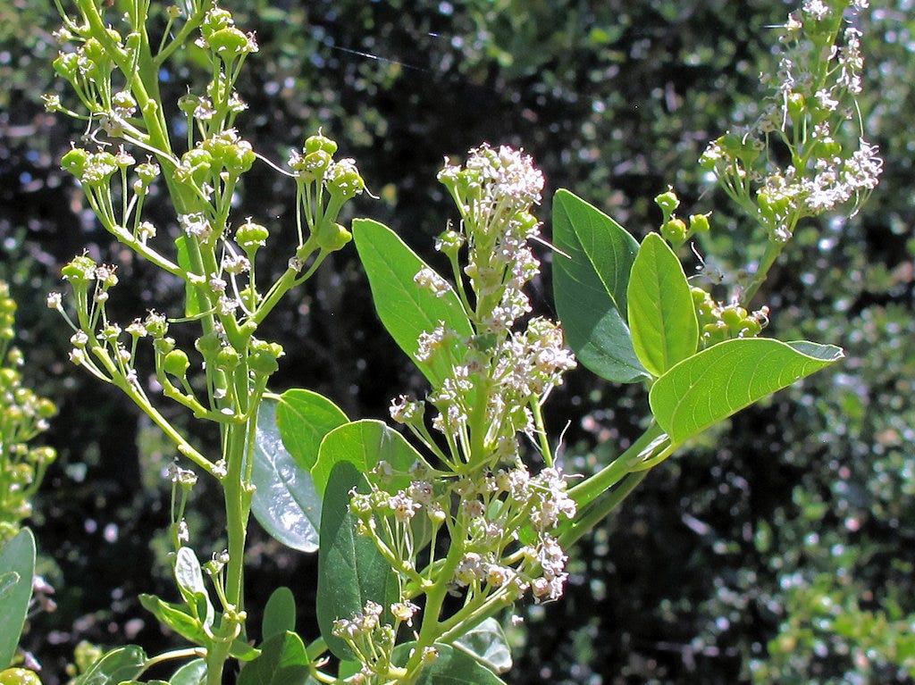
This area burned pretty badly in the last fire. All the recent rain has produced a bumper crop of poodle dog bush. PDB doesn’t cause damage through allergy. Its sap produces a toxic reaction in the skin. That means that antihistamines don’t help a great deal. Cortisone cream works much better.
PDB is just part of the process of recovery. In a couple more years it will be outcompeted by other chaparral plants. The only thing remaining will be its seeds, waiting for the next fire.
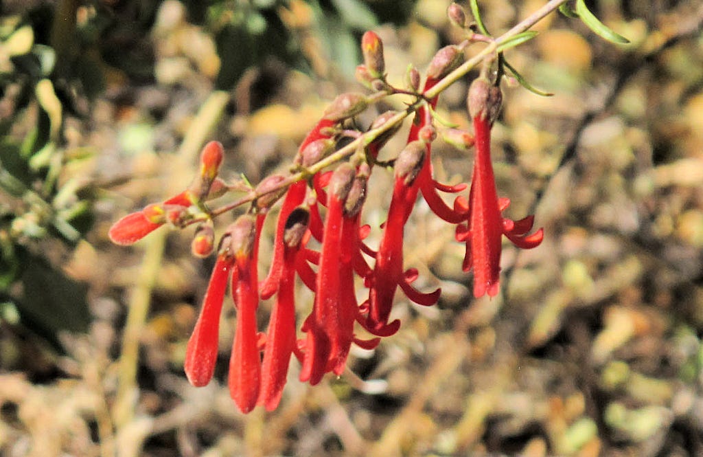
This short section of the PCT has been well maintained with everything trimmed away from the trail. PDB is no threat in this section. However, there are other sections not so well kept up and this naked hiker doesn’t want to go there

Here’s another road crossing. I looked both ways before getting fully exposed, but it probably wasn’t needed. Only two vehicles that I’m aware of came this way all day.
And just across the road, we pass back to the north side of the ridge. Everything grows much thicker and greener here.
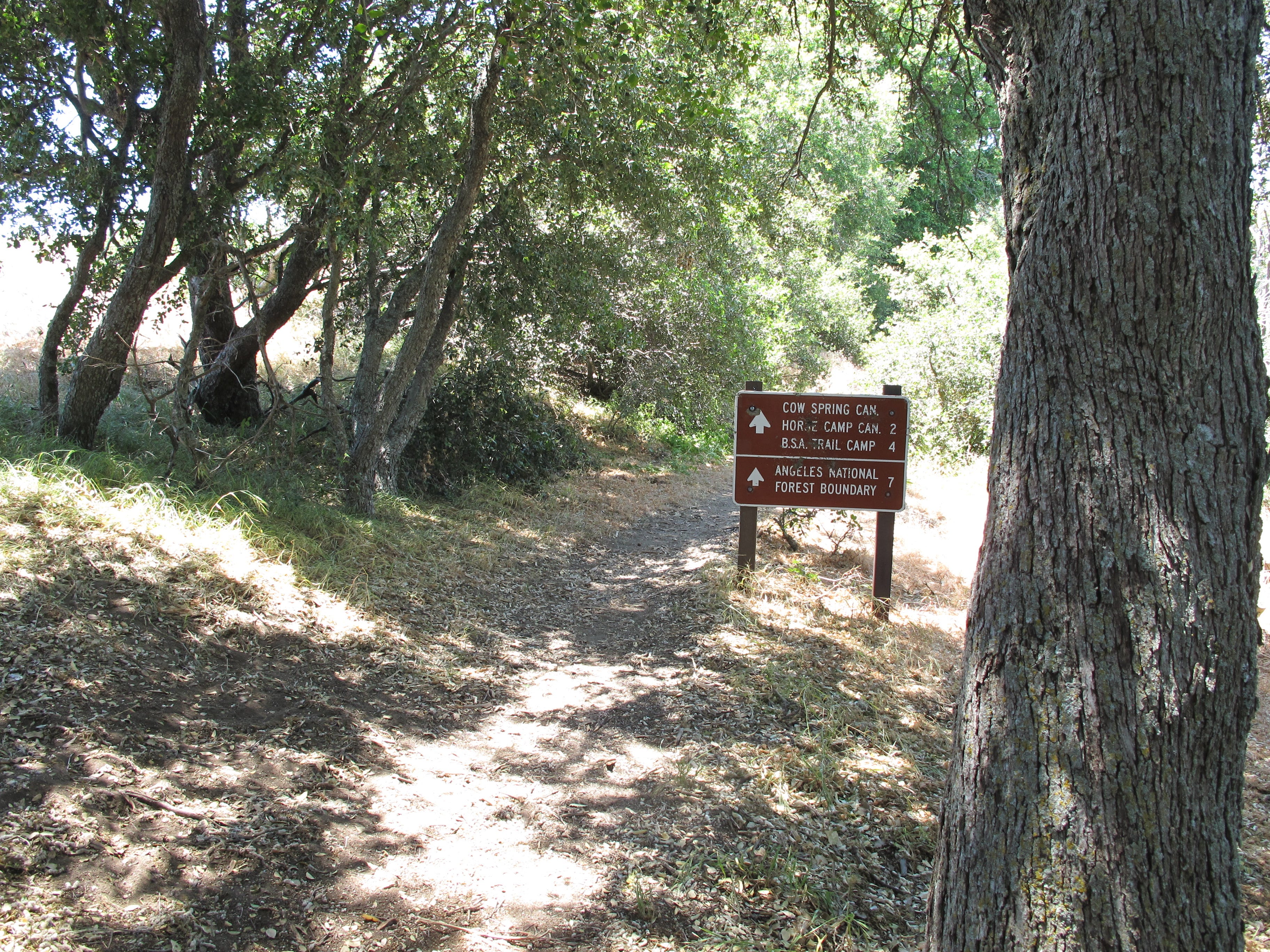
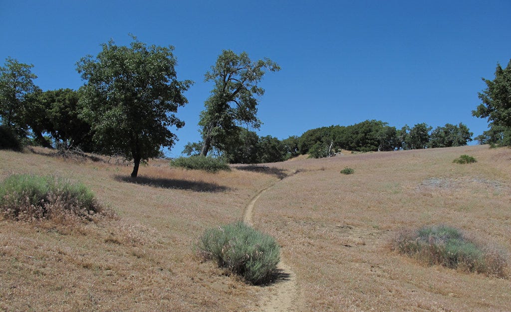
The trail alternates between oak forest and grassland. The Liebre Mountain area gets a little less moisture than the Sawmill Mountain area, so the pine forests give way to deciduous forests.
Almost to the top!!!
I’ve been here before… This is the end point of last week’s recon. Time to turn around. a bit over two miles back to the car, but it is all downhill!

But first, I step across the road to get this view to the south.
And I am back to my car. I have spent five or six hours up here, most of it hiking and naked. The next morning, I am slightly red about my shoulders, but there’s no pain.
I am starting to run into health issues. Fortunately, I’m in a period where I can do short hikes on fairly level ground without a brace. There are other times when I can hardly walk around the house without it. That knee brace is my most despised piece of clothing.
A week ago I was up here and saw at least eight people on the trail, all thru-hikers bound for Canada. Thru-hikers start at the Mexican border. It takes about a month to get this far. My understanding is that the last group left in late May. It is just possible the people I met on my previous trip up here may have been the last hikers of the season. Personally, I think it is suicidal to leave in late May because you’ll be crossing some impressive deserts with 100F+ heat.
Now I have the trails to myself. At least until hunting season.
And Friday night, I was hit by a toothache that felt like an ice pick being driven into my jaw. Saturday, there’s no WNBR for me. Instead, I visited the ER. They gave me Augmentin to fight any infection and Tramadol for the pain. I’m off to the dentist on Monday for what is probably an abscessed tooth.
Heavy sigh!
wow! i can't believe that's all there for ppl to hike through and not many do!! i've always been curious, how did you learn about everything you encounter? is it stuff you've learned like prehike? or do you learn it as you go hiking? idk if that makes sense xD and ick, i hate toothaches (i have one now too LOL), it's already july so hopefully you're feeling better?
You always make your treks in solitary scrub forests so interesting. Step by step, hill by hill they always lure me in.
It was pointed out to me that we here in north central Quebec, Canada share some similar looking plants to one in your territory, have a look on line, ours is a beautiful tall purple flower (Lupin), yours is that seemingly poisonous, pretty, purple PDB…….. Be Careful Out There..