


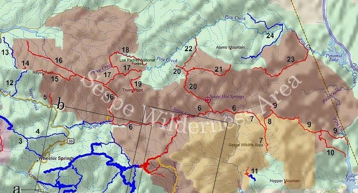
Freehiking in California's Sespe Wilderness
Photo essay: Fred looks back at 2023 trip to see the flowers and celebrate Naked Hiking Day


LOS ANGELES — I haven’t been active recently. I’ve had some issues with infections and surgeries. It has become too cold to do my freehikes in the mountains lately. So this post is about a freehike to see flowers and celebrate Naked Hiking Day a couple of weeks late.
That year, 2023, LA World Naked Bike Ride was also on World Naked Hiking Day. I can't do both at the same time, so the next decent day, I went out to the Alder Creek Trail, one of my favorite nude hiking areas. Temperatures were in the high 70s, quite unusual this late in the year. It is usually in the 90s.
One would not expect early July to be a great day to hike or to find wildflowers. But it was. We’d had a very wet winter.
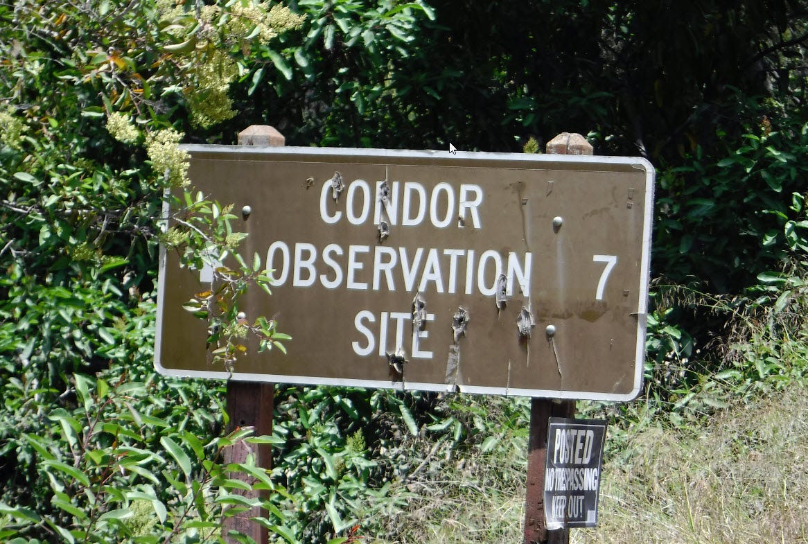
You see a sign (above) as you enter the truck trail to the wilderness area. It is steel, thick enough to resist shotgun blasts from idiots hunting quail. Tacked on almost as an afterthought is a pair of signs warning of the dangers of microtrash — tiny bits of shiny stuff like wrappers and such. Condor chicks seem to like to eat it. It gets stuck in their intestinal tract, and they die.
Protection of the California condor led to the creation of the Sespe Condor Sanctuary. The trail you are driving is an old oil company road, and the area has numerous drill sites, some abandoned and some still in use. Most were closed and recovered long ago, and the only tell-tale sign is a flat spot where you wouldn't expect to see one or scattered bits of uncollected drilling gear.
There is a chance you’ll see a condor soaring in the distance. Near the beginning of my hike is another very short trail to a condor observation point.
They still drill for oil here. As you drive, you may encounter oil company trucks. It is from outside the wilderness boundaries, and they use slant drilling to get there. You know exactly where to drill because you know the location and depth of all the abandoned drill sites.
Almost every trail in Southern California started as a road for oil, timber, mining or ranching and then was abandoned. Nature takes over, but it is still a low-maintenance route for a foot trail. Very few are dedicated foot trails from the start.
When you get to the 7-mile sign, the pavement ends. To the right is the gated access road to the oilfields. To the left is the oil field headquarters, which is why you see the "No Trespassing" sign. (It used to be a forest service office, but many were shut down due to belt-tightening.) The holes in the sign are from the rifles of deer hunters. I understand hunting. I don't understand what part of that is punching holes in signs. Target shooting isn’t permitted back here anyhow.
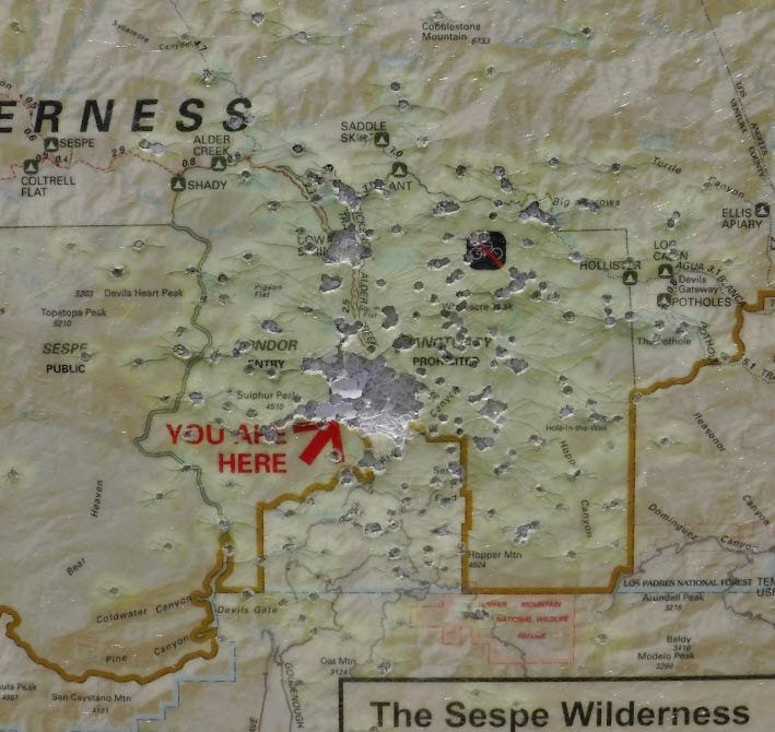
Later at the trailhead, it appeared like a quail hunter shot the wilderness map on the "You are here" spot. What a d*ckhead!
The road had been graded recently to the trailhead. An ordinary street vehicle could now make it if it had some ground clearance and one drove very carefully. As I was leaving at the end of the day, I was surprised to see a man driving a Toyota Scion.
There are times, especially after rain or a long summer of vehicle use, when 4WD and high clearance would have been necessary.
It is Monday after the 4th of July holiday, and nobody is here. Didn't expect there would be. I got there around noon. If anyone else were going to make a day of it out here, they'd arrive earlier, and there'd be a car at the trailhead. I quickly got my kit off.
I was really tempted to leave it all behind in the car but didn't. I keep my clothes in my pack because if I get injured and end up spending the night, I don't care to freeze.
Has age made me into a coward?
The grass is dry enough to burst into flame, if you look at it wrong. Yet, there is also a lot of life and growth. These plants are adapted to heat and drought. When it rains in spring, they store the water for blooms in early summer. The blooms produce seeds and berries that are food sources for the local animals late in the summer and fall when nothing else is available.
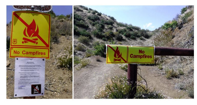
Everywhere I turn, I see signs indicating "No Campfires." Every year we have spectacular wildfires, often from illegal campfires. I guess some people don’t think it applies to them.
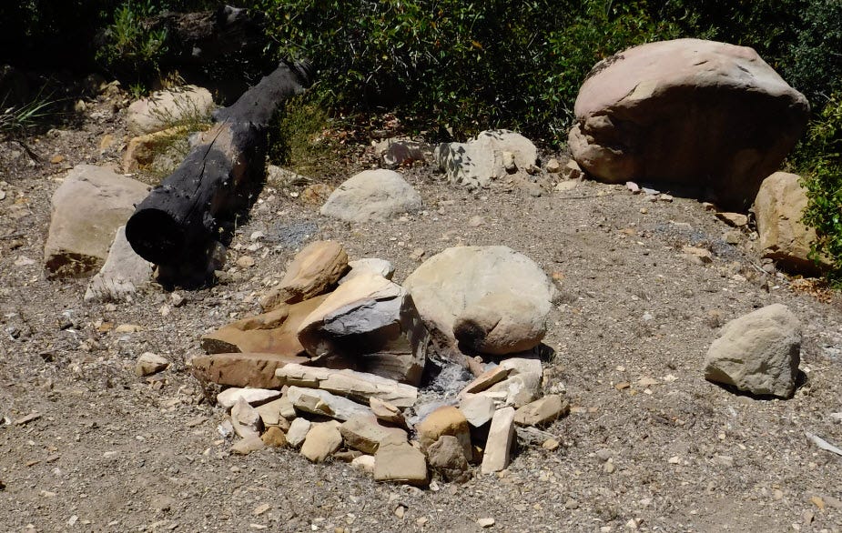
There are also many illegal campfires.
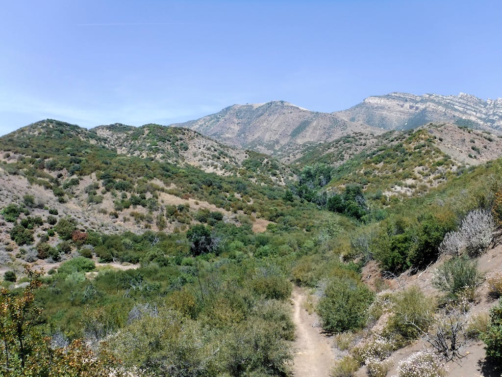
The initial leg of the hike is about 300-400 feet of elevation gain over a half mile. That's not too difficult. If you stop every couple of hundred feet for a photo, there's no reason to get tired. The secret I have learned about hiking up hills is that no matter how out of shape you are, a fundamentally healthy person can climb any hill. It may, however, take a long time.
Move and rest. Even if you are resting every couple of hundred feet and walking slowly in between, with enough time, you'll get to the top.
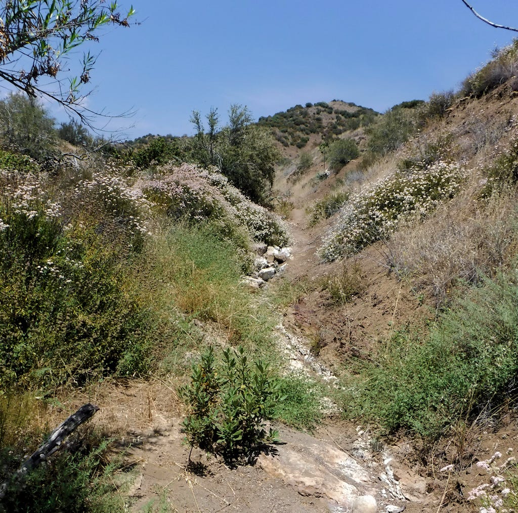
From the first little high point, I hear flowing water in the ravine to my left. However, where the trail crosses that creek, it is bone dry. The water table is located above an impermeable layer of rock. Loose rocks and porous sediment lay on top of it. Where the sediment is thin, the water is forced to the surface, and you have a flowing creek. Where it is thick, the water continues to flow underground.
If one were near a dry creek bed and needed water badly, it would pay to look for green patches of water-loving plants along it. That's where the water is. Even if it isn't at the surface, if you dig, you could find mud. A cloth can be used to squeeze water out of it.
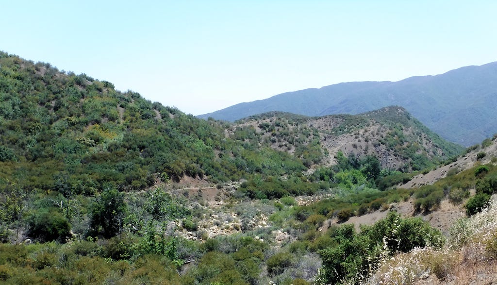
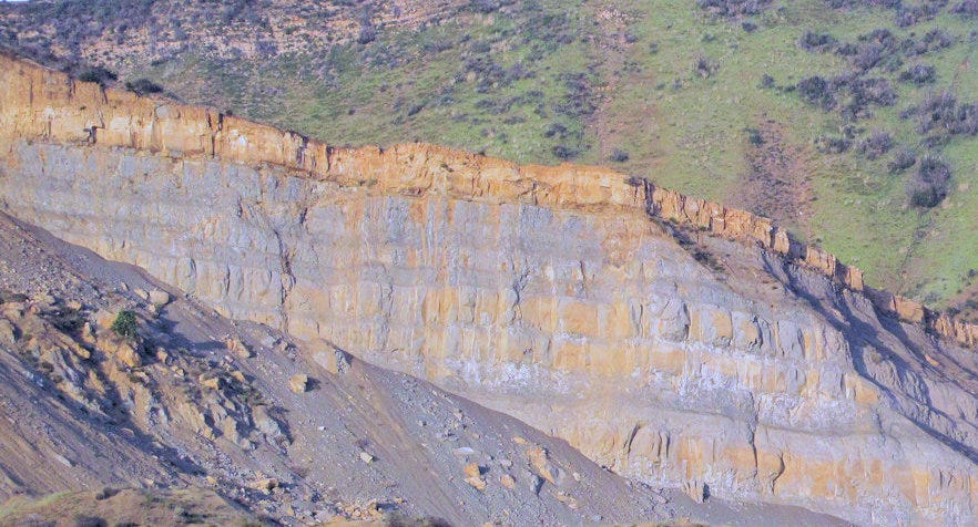
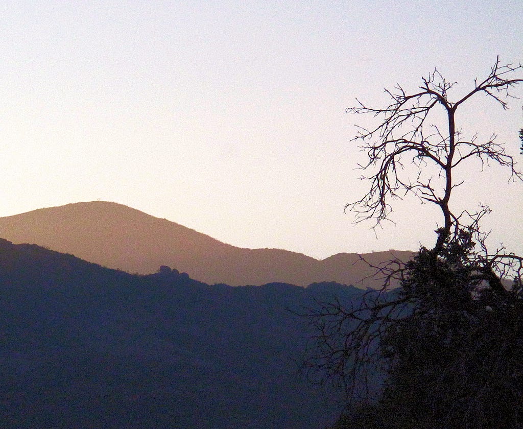
The hike goes on. A slight downhill followed by a couple of hundred feet of elevation gain. Now I can see the whitish sandstone mountains that stretch across the entire width of the Sespe and beyond. I believe this formation is called the Piedra Blanca. At one time, this was all under the sea. About 25 million years ago, this was uplifted along a fault line to form magnificent escarpments. Up close, you can see layer upon layer of sedimentary rock squeezed into sandstone. As it erodes, fossils of sea life emerge, particularly ammonites.
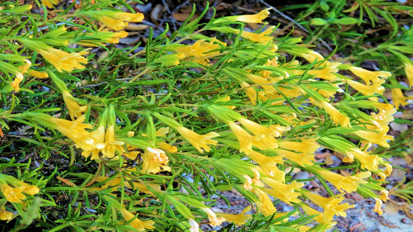
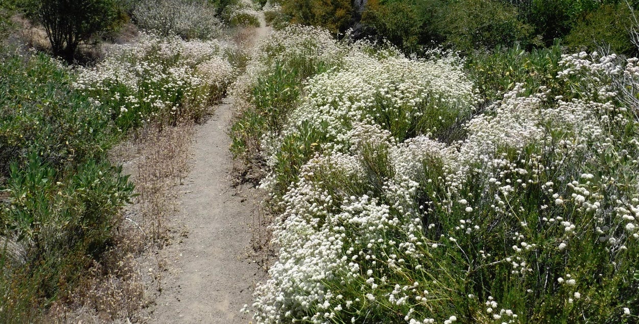
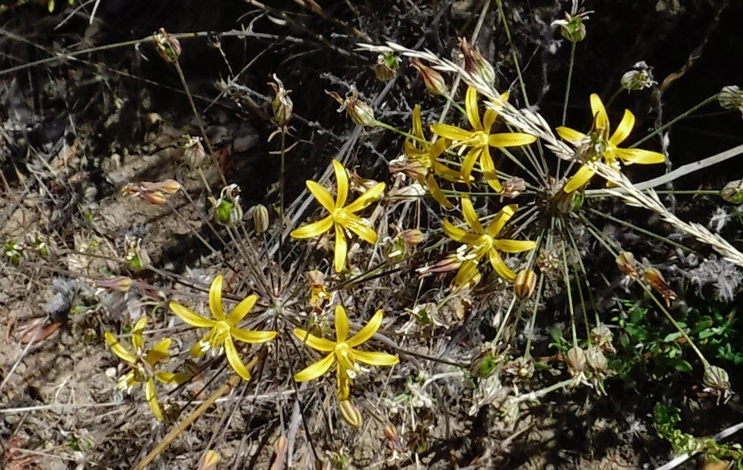
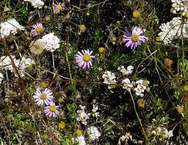
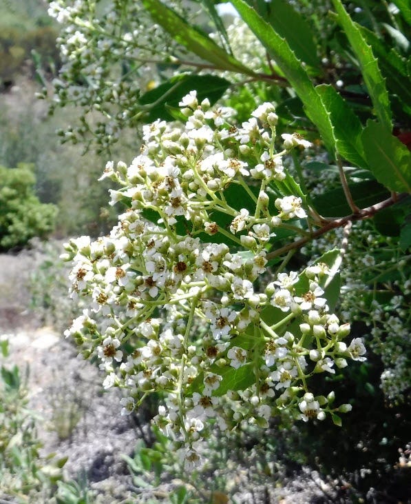
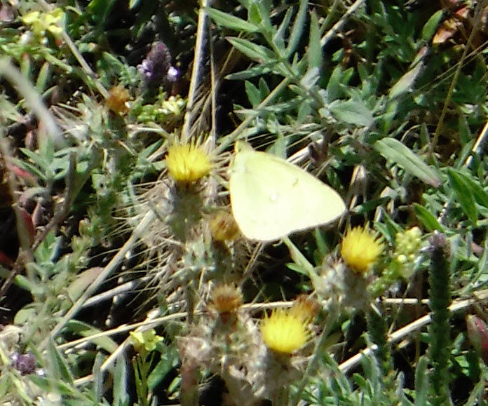
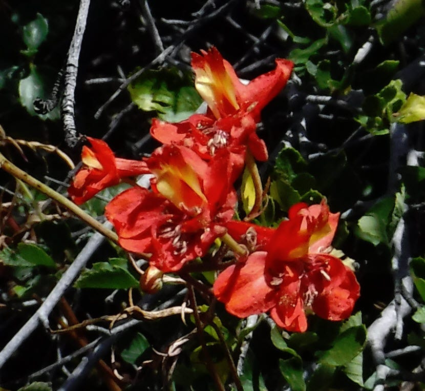
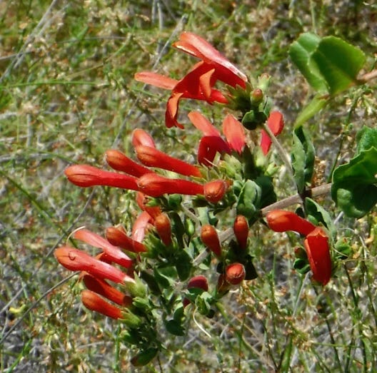
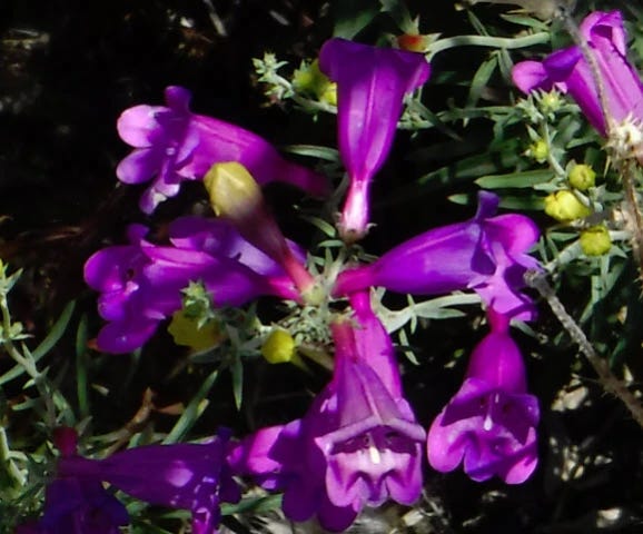
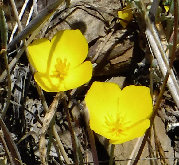
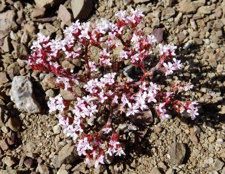
There are plenty of flowers ahead. Landscape shots don't show flowers well. At a distance, they blend in and disappear. You must photograph them close up, on the branch, or deep in the shade. But they are there.
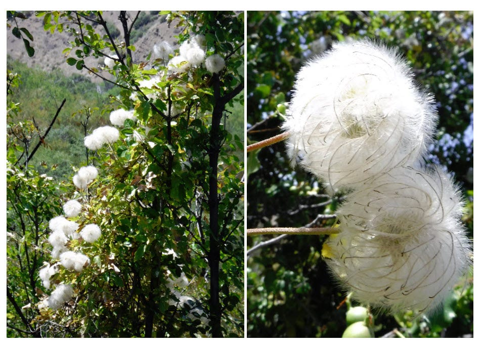
These are growing right next to a stream, Squaw Creek, and the area is known as Squaw Flats. Wild grapes and poison oak are also flourishing there.
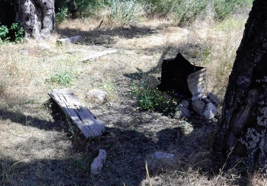
At the base of a dead oak is another illegal campfire. This one was constructed of material left behind when the oil wells closed. Bricks, large boards, leftover bits of steel. Unlike the earlier fire ring I mentioned, this one has grass growing right up to it. I understand why this spot was selected. There is access to water for half the year, and the oaks used to provide lots of shade. Sites like this are often called “guerilla” camps.

A significant portion of the wildfires in the state come from illegal campfires. The fires that start deep in the backcountry are almost all from illegal campfires or lightning strikes. Squaw Flats is such a great place to camp and so often illegally camped at, I would think the Forest Service would set up an "official" campsite with a designated fire pit to make it safer. They know that lots of people camp here and have fires. The first official backcountry campsite is 3 miles ahead up a very steep trail, and people are lazy.
Ah, well. All I can do is make suggestions at the ranger station. Like I have any influence on the matter.
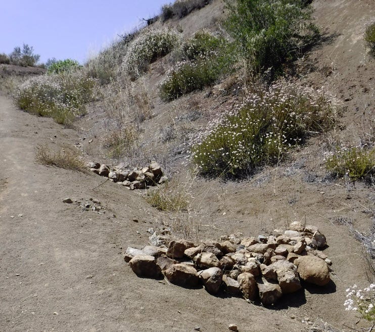
The trail crews have done some erosion control. In many places, the trail has become a source of severe erosion. In places, the erosion has been filled in, and rock barriers have been placed to prevent further damage. The permanent trail has been moved to the side. There are other spots on the trail where no erosion control has been done. They are an ankle-turning mess.
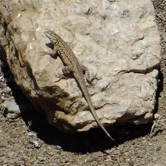
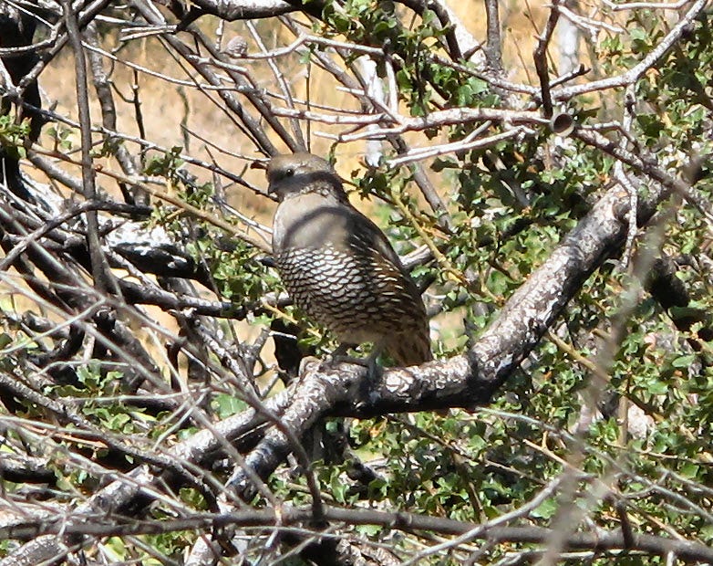
I try to watch for signs of other large mammals along my path. I found a game trail paralleling the human trail about 20 feet to the side. These trails usually connect water, bedding, and food in the most efficient way possible. I saw no deer but got a great shot of a California quail.
Game trails are one way to navigate if you ever need to cross country that lacks an "official" trail. They are also helpful when the human trail goes straight up a steep hill. The game trail will zigzag up the same hill. Deer are not stupid, but people can be.
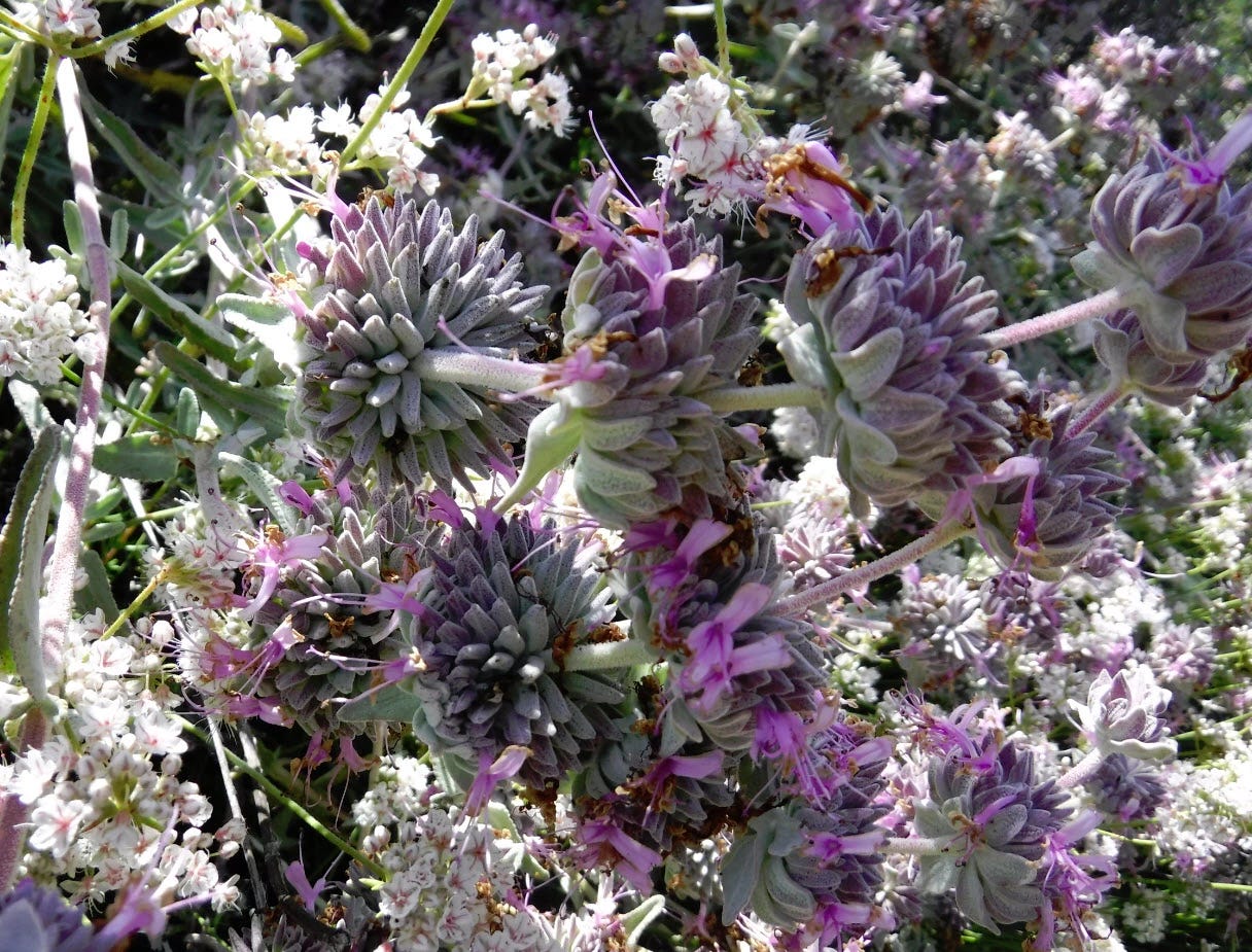
Here in SoCal, we don't have purple sage. We have what is called black sage despite the purple flowers. We also have white sage, and sagebrush that smells like sage but is in a different family. The minty fragrance is almost intoxicating when the sage is in full flower.
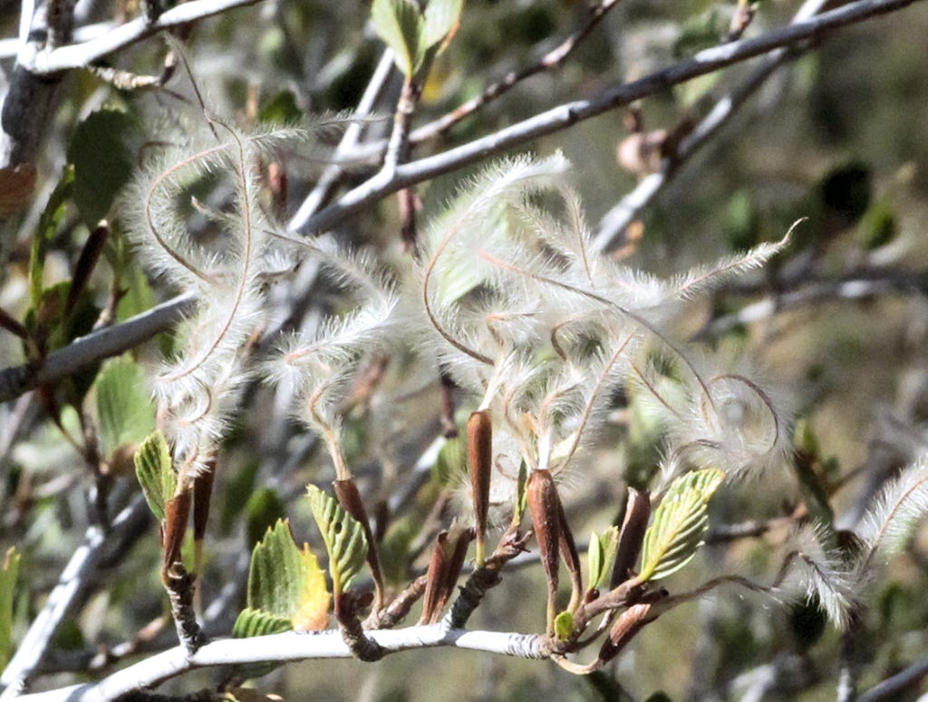
I am amazed at how life will force its way through in the most inhospitable places. This Turkish rugging has forced itself up through the hard-packed surface of the trail.
All too soon, I have to return to my car. The sun had dropped below the mountains. I don’t care to be out here after dark, even with a headlamp. One misstep and I could be limping home. Also, sunset is when the rattlesnakes come out and are difficult to see in dim light.
Conforming to the purple motif, a lifted truck was probably going too fast, hit a dip on the road, and blew out its front suspension on one side. He probably had to go back for parts, come back, and do a field repair. Well, bully for him... except he couldn't be bothered to pick up his garbage after he was through. At least it is pretty and blends in with the purple flowers in the area.
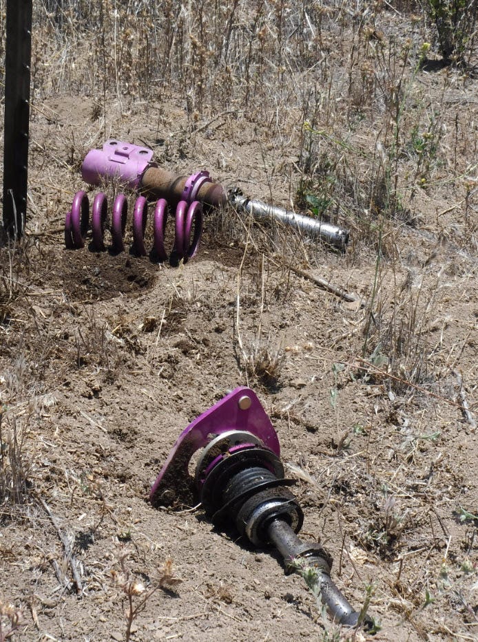
I picked up the litter and left it on my curb when I got home. People drive by my house on weekends looking for useful items to recycle. There's a lot of steel there, and that spring looks perfectly good. It will make somebody happy.
Wonderful article. Such a nice cadence and way of writing out your hike and sharing the photos. It makes the reader feel that they are coming along with you. Also, agree with you on calling out all the litter and trash that people leave behind.
A very beautiful article with wonderful images of a wild & vastly diverse nature.. We can't even imagine how vast our planet itself is & then can we even think of the universe? You have written article in very simple however very exact words which helps me to reach the hike location & experience the naked hiking as if I am there with you..Take care about your health.. Thanks Fred..